TopoQuest Logo
Do you find TopoQuest useful?
Help keep TopoQuest running and adding new maps/features by donating!
Bitcoin:  19c7KJd3qBynnjoSw5npx9KScwjBe4ifkT
Litecoin:  LXs6TkuXGGXo1vDsWCkWVdjQX94eUKd6ui
Home View Maps Find Maps Find Places Resources & Links


Reynolds Ridge, Oregon Topographic Map

USGS Map Title: Reynolds Ridge, OR
USGS Map MRC: 43122D5
DRG (GeoTIFF) Download: o43122d5.tif


Neighboring USGS Topographic Map Quads:


  Fairview Peak, OR  
43122E6
 

  Bearbones Mountain, OR  
43122E5
 

  Warner Mountain, OR  
43122E4
 

  Chilcoot Mountain, OR  
43122D6
 

  Reynolds Ridge, OR  
43122D5
 

  Staley Ridge, OR  
43122D4
 

  Steamboat, OR  
43122C6
 

  Illahee Rock, OR  
43122C5
 

  Toketee Falls, OR  
43122C4


Map MRC Location:

N44°
W123°
N44°
W122°
H8 H7 H6 H5 H4 H3 H2 H1
G8 G7 G6 G5 G4 G3 G2 G1
F8 F7 F6 F5 F4 F3 F2 F1
E8 E7 E6 E5 E4 E3 E2 E1
D8 D7 D6 D5 D4 D3 D2 D1
C8 C7 C6 C5 C4 C3 C2 C1
B8 B7 B6 B5 B4 B3 B2 B1
A8 A7 A6 A5 A4 A3 A2 A1
N43°
W123°
N43°
W122°

Reynolds Ridge, OR USGS 1:24K Topographic Map Preview:
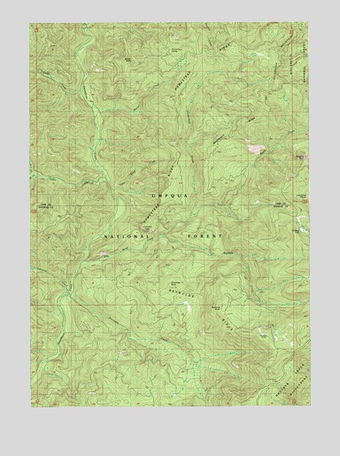
Reynolds Ridge, OR USGS Topographic Map
Click on map above to begin viewing in our Map Viewer.

This topographic map contains these locations and features:
Feature Name Type Latitude Longitude GNIS ID View Map
Big Bend CreekStreamN43.4221°W122.6039°1137973View Map
Bulldog CreekStreamN43.4304°W122.5664°1138932View Map
Bullpup LakeLakeN43.4321°W122.5047°1154272View Map
Buster ButteSummitN43.4872°W122.5795°1139027View Map
Buster CreekStreamN43.4707°W122.5945°1139028View Map
Buster SpringSpringN43.4904°W122.5801°1139029View Map
Calapooya MountainsRangeN43.4998°W122.5012°1157845View Map
Cedar CreekStreamN43.4485°W122.5909°1139493View Map
Cedar SpringSpringN43.4951°W122.5864°1139530View Map
City CreekStreamN43.4998°W122.5984°1139741View Map
City Creek ShelterLocaleN43.4976°W122.6001°1139742View Map
Firemans LeapCliffN43.4321°W122.5723°1142130View Map
Granddad ButteSummitN43.4134°W122.5636°1142906View Map
Grassy Ranch CampLocaleN43.3865°W122.5195°1142976View Map
Grassy Ranch TrailTrailN43.3901°W122.5125°1142977View Map
Homestead CampLocaleN43.4885°W122.5245°1143683View Map
Homestead CreekStreamN43.4368°W122.5539°1143684View Map
Homestead RidgeRidgeN43.4571°W122.5592°1143686View Map
Illahee SpringSpringN43.4108°W122.5429°1162528View Map
Johnson CampLocaleN43.4112°W122.6112°1144321View Map
Johnson CreekStreamN43.4123°W122.6073°1144340View Map
Little Bend CreekStreamN43.4446°W122.5887°1145098View Map
Little Rock CreekStreamN43.4973°W122.5987°1145237View Map
Longs CreekStreamN43.4765°W122.6006°1145375View Map
Lost Camp PrairieFlatN43.4435°W122.5003°1145502View Map
Midnight SpringSpringN43.4373°W122.5653°1146190View Map
North Fork Cedar CreekStreamN43.4510°W122.6228°1146923View Map
Pyramid RockPillarN43.4552°W122.5029°1148071View Map
Reynolds ButteSummitN43.4068°W122.5398°1148391View Map
Reynolds CreekStreamN43.4121°W122.6070°1148392View Map
Reynolds RidgeRidgeN43.4123°W122.5545°1148396View Map
Reynolds Ridge LookoutLocaleN43.3862°W122.5195°1148397View Map
Reynolds ShelterLocaleN43.3982°W122.5206°1135475View Map
Slim Chance CampgroundLocaleN43.4401°W122.5456°1155272View Map
South Fork Cedar CreekStreamN43.4507°W122.6228°1149947View Map
Threemile SpringSpringN43.4909°W122.5625°1151196View Map
Washboard RidgeRidgeN43.4629°W122.5378°1151922View Map
Yellowjacket TrailTrailN43.4785°W122.5878°1152725View Map

Note: Coordinates in the location and feature list above are referenced to NAD83 datum.


Copyright (C) 2008-2024 Ryan Niemi / Sunset Dynamics ... All Rights Reserved