TopoQuest Logo
Do you find TopoQuest useful?
Help keep TopoQuest running and adding new maps/features by donating!
Bitcoin:  19c7KJd3qBynnjoSw5npx9KScwjBe4ifkT
Litecoin:  LXs6TkuXGGXo1vDsWCkWVdjQX94eUKd6ui
Home View Maps Find Maps Find Places Resources & Links


Skull Creek Butte, Oregon Topographic Map

USGS Map Title: Skull Creek Butte, OR
USGS Map MRC: 42118D7
DRG (GeoTIFF) Download: o42118d7.tif


Neighboring USGS Topographic Map Quads:


  Home Creek Butte, OR  
42118E8
 

  Roaring Springs SE, OR  
42118E7
 

  Ankle Creek, OR  
42118E6
 

  Garrison Lake, OR  
42118D8
 

  Skull Creek Butte, OR  
42118D7
 

  V Lake, OR  
42118D6
 

  Square Mountain, OR  
42118C8
 

  Fields Basin, OR  
42118C7
 

  Fields, OR  
42118C6


Map MRC Location:

N43°
W119°
N43°
W118°
H8 H7 H6 H5 H4 H3 H2 H1
G8 G7 G6 G5 G4 G3 G2 G1
F8 F7 F6 F5 F4 F3 F2 F1
E8 E7 E6 E5 E4 E3 E2 E1
D8 D7 D6 D5 D4 D3 D2 D1
C8 C7 C6 C5 C4 C3 C2 C1
B8 B7 B6 B5 B4 B3 B2 B1
A8 A7 A6 A5 A4 A3 A2 A1
N42°
W119°
N42°
W118°

Skull Creek Butte, OR USGS 1:24K Topographic Map Preview:
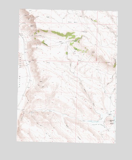
Skull Creek Butte, OR USGS Topographic Map
Click on map above to begin viewing in our Map Viewer.

This topographic map contains these locations and features:
Feature Name Type Latitude Longitude GNIS ID View Map
Alkali Flat CorralsLocaleN42.4929°W118.8360°1116862View Map
Bohemian SpringSpringN42.4841°W118.8607°1117911View Map
Brezniak RanchLocaleN42.4504°W118.8621°1118063View Map
Catlow RimCliffN42.4596°W118.8566°1118696View Map
Coon CanyonValleyN42.4296°W118.8696°1119231View Map
Cottonwood CreekStreamN42.3952°W118.7874°1119327View Map
Dry CreekStreamN42.4032°W118.7619°1120123View Map
Echart CreekStreamN42.3954°W118.7727°1120375View Map
Echart GradeSlopeN42.4754°W118.8566°1161092View Map
H L RanchLocaleN42.4866°W118.8702°1121501View Map
Henry BasinBasinN42.4885°W118.8063°1121758View Map
Little Skull CreekStreamN42.4424°W118.7510°1123284View Map
O'Keefe SpringsSpringN42.4796°W118.7952°1124887View Map
Pic SwaleValleyN42.4479°W118.8238°1125353View Map
Road CanyonValleyN42.4013°W118.8132°1126083View Map
Skull Creek ButteSummitN42.3963°W118.7580°1127038View Map
Skull Creek DamDamN42.3949°W118.7510°1131348View Map
Skull Creek RanchLocaleN42.4018°W118.7594°1127039View Map

Note: Coordinates in the location and feature list above are referenced to NAD83 datum.


Copyright (C) 2008-2025 Ryan Niemi / Sunset Dynamics ... All Rights Reserved