TopoQuest Logo
Do you find TopoQuest useful?
Help keep TopoQuest running and adding new maps/features by donating!
Bitcoin:  19c7KJd3qBynnjoSw5npx9KScwjBe4ifkT
Litecoin:  LXs6TkuXGGXo1vDsWCkWVdjQX94eUKd6ui
Home View Maps Find Maps Find Places Resources & Links


Poverty Flat East, Montana Topographic Map

USGS Map Title: Poverty Flat East, MT
USGS Map MRC: 47104B7
DRG (GeoTIFF) Download: o47104b7.tif


Neighboring USGS Topographic Map Quads:


  Stinking Coulee, MT  
47104C8
 

  Morgan Creek School, MT  
47104C7
 

  Kolberg Ranch, MT  
47104C6
 

  Poverty Flat West, MT  
47104B8
 

  Poverty Flat East, MT  
47104B7
 

  Stipek, MT  
47104B6
 

  Pleasant View, MT  
47104A8
 

  Forest Park, MT  
47104A7
 

  Glendive, MT  
47104A6


Map MRC Location:

N48°
W105°
N48°
W104°
H8 H7 H6 H5 H4 H3 H2 H1
G8 G7 G6 G5 G4 G3 G2 G1
F8 F7 F6 F5 F4 F3 F2 F1
E8 E7 E6 E5 E4 E3 E2 E1
D8 D7 D6 D5 D4 D3 D2 D1
C8 C7 C6 C5 C4 C3 C2 C1
B8 B7 B6 B5 B4 B3 B2 B1
A8 A7 A6 A5 A4 A3 A2 A1
N47°
W105°
N47°
W104°

Poverty Flat East, MT USGS 1:24K Topographic Map Preview:
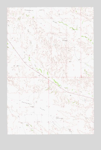
Poverty Flat East, MT USGS Topographic Map
Click on map above to begin viewing in our Map Viewer.

This topographic map contains these locations and features:
Feature Name Type Latitude Longitude GNIS ID View Map
16N54E12CBDB01 WellWellN47.1567°W104.8341°821102View Map
16N54E14ADAD01 WellWellN47.1464°W104.8377°821015View Map
16N55E09BBBC01 WellWellN47.1650°W104.7727°821176View Map
17N54E11DBCC01 WellWellN47.2431°W104.8008°821650View Map
17N54E14ADBC01 WellWellN47.2339°W104.7966°821594View Map
17N54E17ACAB01 WellWellN47.2350°W104.8614°821600View Map
17N54E20CCBA01 WellWellN47.2136°W104.8739°821478View Map
17N54E29ACDB01 WellWellN47.2047°W104.8611°821422View Map
17N55E30CC__01 WellWellN47.1978°W104.7669°821373View Map
17N55E30DACC01 WellWellN47.1992°W104.7516°821386View Map
D Bar CouleeValleyN47.2039°W104.8475°770414View Map
Dawson Community AirportAirportN47.1363°W104.8086°806424View Map
Gampost MineMineN47.1925°W104.8619°771695View Map
Glendive ButteSummitN47.2083°W104.7700°1715608View Map
Lower Threemile School (historical)SchoolN47.2172°W104.7891°773743View Map
Poverty Flat School (historical)SchoolN47.1522°W104.8372°775410View Map
Wolf Point School (historical)SchoolN47.2111°W104.7908°1715591View Map

Note: Coordinates in the location and feature list above are referenced to NAD83 datum.


Copyright (C) 2008-2025 Ryan Niemi / Sunset Dynamics ... All Rights Reserved