TopoQuest Logo
Do you find TopoQuest useful?
Help keep TopoQuest running and adding new maps/features by donating!
Bitcoin:  19c7KJd3qBynnjoSw5npx9KScwjBe4ifkT
Litecoin:  LXs6TkuXGGXo1vDsWCkWVdjQX94eUKd6ui
Home View Maps Find Maps Find Places Resources & Links


Buffalo Creek, Montana Topographic Map

USGS Map Title: Buffalo Creek, MT
USGS Map MRC: 47105E4
DRG (GeoTIFF) Download: o47105e4.tif


Neighboring USGS Topographic Map Quads:


  Hudiburgh Reservoir, MT  
47105F5
 

  Beery Reservoir, MT  
47105F4
 

  Buffalo Creek NE, MT  
47105F3
 

  Hudiburgh Reservoir SE, MT  
47105E5
 

  Buffalo Creek, MT  
47105E4
 

  Buffalo Creek SE, MT  
47105E3
 

  Circle, MT  
47105D5
 

  Woodworth Hill, MT  
47105D4
 

  Olson Coulee North, MT  
47105D3


Map MRC Location:

N48°
W106°
N48°
W105°
H8 H7 H6 H5 H4 H3 H2 H1
G8 G7 G6 G5 G4 G3 G2 G1
F8 F7 F6 F5 F4 F3 F2 F1
E8 E7 E6 E5 E4 E3 E2 E1
D8 D7 D6 D5 D4 D3 D2 D1
C8 C7 C6 C5 C4 C3 C2 C1
B8 B7 B6 B5 B4 B3 B2 B1
A8 A7 A6 A5 A4 A3 A2 A1
N47°
W106°
N47°
W105°

Buffalo Creek, MT USGS 1:24K Topographic Map Preview:
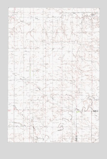
Buffalo Creek, MT USGS Topographic Map
Click on map above to begin viewing in our Map Viewer.

This topographic map contains these locations and features:
Feature Name Type Latitude Longitude GNIS ID View Map
20N49E03CBCC01 WellWellN47.5183°W105.4697°823560View Map
20N49E04CDDC01 WellWellN47.5145°W105.4831°823520View Map
20N49E08ABBA01 WellWellN47.5142°W105.4989°823512View Map
20N50E06ABBB01 WellWellN47.5300°W105.3947°823625View Map
20N50E06BACD01 WellWellN47.5278°W105.3994°823615View Map
21N49E06ABBA01 WellWellN47.6164°W105.4786°824084View Map
21N49E06BAAA01 WellWellN47.6164°W105.4814°824085View Map
21N49E06BAAA02 WellWellN47.6164°W105.4814°824086View Map
21N49E19CCCD01 WellWellN47.5597°W105.4894°823769View Map
21N49E19DCDC01 WellWellN47.5586°W105.4778°823762View Map
21N49E20CCBA01 WellWellN47.5620°W105.4678°823780View Map
21N49E20CCBC01 WellWellN47.5611°W105.4686°823775View Map
21N49E20CCBC02 WellWellN47.5611°W105.4686°823776View Map
21N49E32AABC01 WellWellN47.5431°W105.4525°823689View Map
22N49E33CCCD01 WellWellN47.6178°W105.4467°824098View Map
Buffalo CreekStreamN47.5003°W105.4530°769341View Map
Corral CreekStreamN47.5314°W105.3875°770117View Map
Dean S Number 1 DamDamN47.6017°W105.4705°797586View Map
North Fork Buffalo CreekStreamN47.5125°W105.4694°774713View Map
Redwater (historical)Populated PlaceN47.5306°W105.4069°1716170View Map
Redwater Post Office (historical)Post OfficeN47.5306°W105.4069°1716171View Map
Redwater School (historical)SchoolN47.5306°W105.4069°1716172View Map
South Fork Buffalo CreekStreamN47.5125°W105.4694°776794View Map
Spring CreekStreamN47.5267°W105.4144°777051View Map
Switzer ReservoirReservoirN47.6167°W105.3823°799763View Map

Note: Coordinates in the location and feature list above are referenced to NAD83 datum.


Copyright (C) 2008-2025 Ryan Niemi / Sunset Dynamics ... All Rights Reserved