TopoQuest Logo
Do you find TopoQuest useful?
Help keep TopoQuest running and adding new maps/features by donating!
Bitcoin:  19c7KJd3qBynnjoSw5npx9KScwjBe4ifkT
Litecoin:  LXs6TkuXGGXo1vDsWCkWVdjQX94eUKd6ui
Home View Maps Find Maps Find Places Resources & Links


Bull Creek, California Topographic Map

USGS Map Title: Bull Creek, CA
USGS Map MRC: 40124C1
DRG (GeoTIFF) Download: o40124c1.tif


Neighboring USGS Topographic Map Quads:


  Taylor Peak, CA  
40124D2
 

  Scotia, CA  
40124D1
 

  Redcrest, CA  
40123D8
 

  Buckeye Mountain, CA  
40124C2
 

  Bull Creek, CA  
40124C1
 

  Weott, CA  
40123C8
 

  Shubrick Peak, CA  
40124B2
 

  Honeydew, CA  
40124B1
 

  Ettersburg, CA  
40123B8


Map MRC Location:

N41°
W125°
N41°
W124°
H8 H7 H6 H5 H4 H3 H2 H1
G8 G7 G6 G5 G4 G3 G2 G1
F8 F7 F6 F5 F4 F3 F2 F1
E8 E7 E6 E5 E4 E3 E2 E1
D8 D7 D6 D5 D4 D3 D2 D1
C8 C7 C6 C5 C4 C3 C2 C1
B8 B7 B6 B5 B4 B3 B2 B1
A8 A7 A6 A5 A4 A3 A2 A1
N40°
W125°
N40°
W124°

Bull Creek, CA USGS 1:24K Topographic Map Preview:
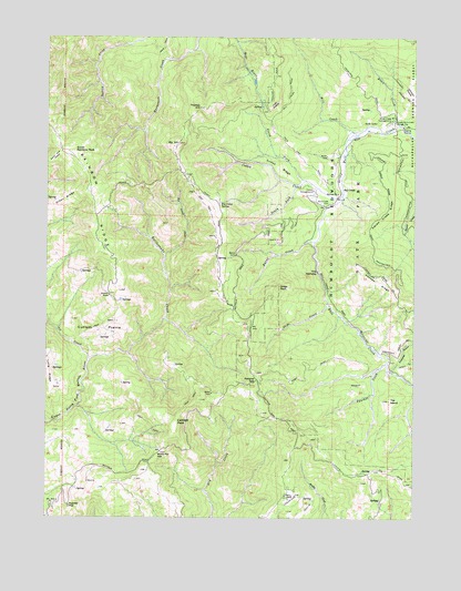
Bull Creek, CA USGS Topographic Map
Click on map above to begin viewing in our Map Viewer.

This topographic map contains these locations and features:
Feature Name Type Latitude Longitude GNIS ID View Map
Albee CreekStreamN40.3521°W124.0064°218067View Map
Albee Creek CampgroundLocaleN40.3529°W124.0092°218068View Map
Big HillSummitN40.3474°W124.0812°219197View Map
Bull CreekStreamN40.3490°W124.0012°220102View Map
Bull CreekPopulated PlaceN40.3357°W124.0264°1658166View Map
Bull Creek CemeteryCemeteryN40.3318°W124.0328°220103View Map
Burns CreekStreamN40.3218°W124.0348°220209View Map
Catheys PeakSummitN40.2749°W124.0820°1658239View Map
Cuneo CampgroundLocaleN40.3351°W124.0356°221913View Map
Cuneo CreekStreamN40.3338°W124.0256°221914View Map
Cuneo RidgeRidgeN40.3410°W124.0470°221915View Map
Curless PrairieFlatN40.2987°W124.1075°221928View Map
Fox Camp CreekStreamN40.3179°W124.0856°223773View Map
Fox Camp SpringSpringN40.3319°W124.0672°223774View Map
Gregs PeakSummitN40.3099°W124.0470°1658670View Map
Hansen RidgeRidgeN40.3129°W124.0128°224887View Map
High PrairieFlatN40.3565°W124.0495°225274View Map
Honeydew Volunteer Fire Company Panther Gap StationBuildingN40.2579°W124.0428°2622159View Map
Honeydew Volunteer Fire Company Windy Nip Gap StationBuildingN40.2620°W124.0917°2622156View Map
Johnson PrairieAreaN40.3596°W124.0006°234091View Map
Mann RanchLocaleN40.2549°W124.0431°228022View Map
Mill CreekStreamN40.3496°W124.0209°228700View Map
North Fork Cuneo CreekStreamN40.3376°W124.0378°229658View Map
Oil CreekStreamN40.2907°W124.1114°229946View Map
Panther CreekStreamN40.2899°W124.0100°230300View Map
Panther GapGapN40.2860°W124.0542°230307View Map
Powder FlatFlatN40.2529°W124.1181°231010View Map
Preacher GulchValleyN40.2890°W124.0078°231030View Map
Rainbow RanchLocaleN40.3076°W124.1048°231188View Map
Rattlesnake CreekStreamN40.2926°W124.0981°231257View Map
Slide CreekStreamN40.3063°W124.0303°233278View Map
South Fork Cuneo CreekStreamN40.3365°W124.0403°234992View Map
South Rainbow PeakSummitN40.3446°W124.1167°1659828View Map
Squaw Creek RidgeRidgeN40.3290°W124.0120°235311View Map
The IslandSummitN40.2807°W124.0098°236184View Map
The NarrowsGapN40.3140°W124.0339°236204View Map
Thomas HillSummitN40.3565°W124.0734°236251View Map
Upper Bull Creek Ranger StationLocaleN40.3526°W124.0078°236877View Map
Windy Nip GapGapN40.2668°W124.0878°238027View Map

Note: Coordinates in the location and feature list above are referenced to NAD83 datum.


Copyright (C) 2008-2025 Ryan Niemi / Sunset Dynamics ... All Rights Reserved