TopoQuest Logo
Do you find TopoQuest useful?
Help keep TopoQuest running and adding new maps/features by donating!
Bitcoin:  19c7KJd3qBynnjoSw5npx9KScwjBe4ifkT
Litecoin:  LXs6TkuXGGXo1vDsWCkWVdjQX94eUKd6ui
Home View Maps Find Maps Find Places Resources & Links


Kenesaw, Nebraska Topographic Map

USGS Map Title: Kenesaw, NE
USGS Map MRC: 40098E6
DRG (GeoTIFF) Download: o40098e6.tif


Neighboring USGS Topographic Map Quads:


  Gibbon South, NE  
40098F7
 

  Denman, NE  
40098F6
 

  Prosser, NE  
40098F5
 

  Heartwell, NE  
40098E7
 

  Kenesaw, NE  
40098E6
 

  Juniata, NE  
40098E5
 

  Norman, NE  
40098D7
 

  Holstein, NE  
40098D6
 

  Roseland, NE  
40098D5


Map MRC Location:

N41°
W99°
N41°
W98°
H8 H7 H6 H5 H4 H3 H2 H1
G8 G7 G6 G5 G4 G3 G2 G1
F8 F7 F6 F5 F4 F3 F2 F1
E8 E7 E6 E5 E4 E3 E2 E1
D8 D7 D6 D5 D4 D3 D2 D1
C8 C7 C6 C5 C4 C3 C2 C1
B8 B7 B6 B5 B4 B3 B2 B1
A8 A7 A6 A5 A4 A3 A2 A1
N40°
W99°
N40°
W98°

Kenesaw, NE USGS 1:24K Topographic Map Preview:
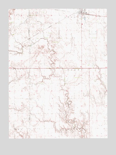
Kenesaw, NE USGS Topographic Map
Click on map above to begin viewing in our Map Viewer.

This topographic map contains these locations and features:
Feature Name Type Latitude Longitude GNIS ID View Map
Adams County Waterfowl Production AreaParkN40.6024°W98.6433°2765180View Map
Haven Home of KenesawHospitalN40.6211°W98.6576°1884522View Map
KenesawLocaleN40.6203°W98.6567°1884529View Map
KenesawPopulated PlaceN40.6211°W98.6576°830469View Map
Kenesaw CemeteryCemeteryN40.6036°W98.6606°830470View Map
Kenesaw Lutheran ChurchChurchN40.6228°W98.6534°1884525View Map
Kenesaw Post OfficePost OfficeN40.6216°W98.6579°1884567View Map
Kenesaw Presbyterian ChurchChurchN40.6208°W98.6542°1884526View Map
Kenesaw Public SchoolsSchoolN40.6214°W98.6517°1884528View Map
Kenesaw Volunteer Fire DepartmentBuildingN40.6215°W98.6568°1884523View Map
Sacred Heart Catholic ChurchChurchN40.6211°W98.6576°1884524View Map
Sand Hill (historical)LocaleN40.6000°W98.6573°1884409View Map
Shiloh CemeteryCemeteryN40.5525°W98.7053°833400View Map
Shurigar Bros DamDamN40.5140°W98.6550°1767087View Map
Shurigar Brothers LakeReservoirN40.5155°W98.6539°1767088View Map
Township of WandaCivilN40.5677°W98.6671°838315View Map
United Methodist ChurchChurchN40.6217°W98.6542°1884527View Map
Village of KenesawCivilN40.6192°W98.6579°2398336View Map
Zion ChurchChurchN40.5328°W98.6290°834952View Map

Note: Coordinates in the location and feature list above are referenced to NAD83 datum.


Copyright (C) 2008-2024 Ryan Niemi / Sunset Dynamics ... All Rights Reserved