TopoQuest Logo
Do you find TopoQuest useful?
Help keep TopoQuest running and adding new maps/features by donating!
Bitcoin:  19c7KJd3qBynnjoSw5npx9KScwjBe4ifkT
Litecoin:  LXs6TkuXGGXo1vDsWCkWVdjQX94eUKd6ui
Home View Maps Find Maps Find Places Resources & Links


Pleasant View, Montana Topographic Map

USGS Map Title: Pleasant View, MT
USGS Map MRC: 47104A8
DRG (GeoTIFF) Download: o47104a8.tif


Neighboring USGS Topographic Map Quads:


  Woodrow, MT  
47105B1
 

  Poverty Flat West, MT  
47104B8
 

  Poverty Flat East, MT  
47104B7
 

  Upper Cracker Box School, MT  
47105A1
 

  Pleasant View, MT  
47104A8
 

  Forest Park, MT  
47104A7
 

  Fallon NE, MT  
46105H1
 

  Marsh, MT  
46104H8
 

  Hoyt, MT  
46104H7


Map MRC Location:

N48°
W105°
N48°
W104°
H8 H7 H6 H5 H4 H3 H2 H1
G8 G7 G6 G5 G4 G3 G2 G1
F8 F7 F6 F5 F4 F3 F2 F1
E8 E7 E6 E5 E4 E3 E2 E1
D8 D7 D6 D5 D4 D3 D2 D1
C8 C7 C6 C5 C4 C3 C2 C1
B8 B7 B6 B5 B4 B3 B2 B1
A8 A7 A6 A5 A4 A3 A2 A1
N47°
W105°
N47°
W104°

Pleasant View, MT USGS 1:24K Topographic Map Preview:
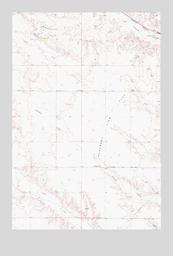
Pleasant View, MT USGS Topographic Map
Click on map above to begin viewing in our Map Viewer.

This topographic map contains these locations and features:
Feature Name Type Latitude Longitude GNIS ID View Map
14N54E04ADBA01 WellWellN47.0028°W104.8830°820075View Map
15N53E10AAAB01 WellWellN47.0795°W104.9852°820613View Map
15N53E12ABAB01 WellWellN47.0795°W104.9491°820610View Map
15N53E12ABAB02 WellWellN47.0795°W104.9491°820611View Map
15N53E12ABAB03 WellWellN47.0795°W104.9491°820612View Map
15N53E12ACDA01 WellWellN47.0733°W104.9477°820568View Map
15N53E26CABC01 WellWellN47.0272°W104.9786°820252View Map
15N53E26DABC01 WellWellN47.0278°W104.9686°820256View Map
15N53E34AABA01 WellWellN47.0208°W104.9589°820208View Map
15N53E34DBAD01 WellWellN47.0133°W104.9916°820144View Map
15N54E07DAAB01 WellWellN47.0717°W104.9386°820549View Map
15N54E20AACC01 WellWellN47.0492°W104.9036°820400View Map
16N53E27CADD01 WellWellN47.1136°W104.9964°820823View Map
16N53E27CADD02 WellWellN47.0997°W104.9858°820733View Map
16N54E06CDAA01 WellWellN47.0833°W104.9336°820631View Map
16N54E32CDDA01 WellWellN47.0950°W104.9011°820711View Map
Foster School (historical)SchoolN47.0797°W104.9005°771541View Map
Pleasant ViewPopulated PlaceN47.0361°W104.9300°775287View Map
Pleasant View CemeteryCemeteryN47.0361°W104.9297°1955040View Map
Pleasant View FlatFlatN47.0614°W104.9166°775292View Map
Pleasant View School (historical)SchoolN47.0361°W104.9297°1715563View Map
Spring CreekStreamN47.1114°W104.8800°777005View Map

Note: Coordinates in the location and feature list above are referenced to NAD83 datum.


Copyright (C) 2008-2025 Ryan Niemi / Sunset Dynamics ... All Rights Reserved