TopoQuest Logo
Do you find TopoQuest useful?
Help keep TopoQuest running and adding new maps/features by donating!
Bitcoin:  19c7KJd3qBynnjoSw5npx9KScwjBe4ifkT
Litecoin:  LXs6TkuXGGXo1vDsWCkWVdjQX94eUKd6ui
Home View Maps Find Maps Find Places Resources & Links


Wenona, Illinois Topographic Map

USGS Map Title: Wenona, IL
USGS Map MRC: 41089A1
DRG (GeoTIFF) Download: o41089a1.tif


Neighboring USGS Topographic Map Quads:


  McNabb, IL  
41089B2
 

  Tonica, IL  
41089B1
 

  Leonore, IL  
41088B8
 

  Varna, IL  
41089A2
 

  Wenona, IL  
41089A1
 

  Long Point, IL  
41088A8
 

  La Rose, IL  
40089H2
 

  Minonk, IL  
40089H1
 

  Dana, IL  
40088H8


Map MRC Location:

N42°
W90°
N42°
W89°
H8 H7 H6 H5 H4 H3 H2 H1
G8 G7 G6 G5 G4 G3 G2 G1
F8 F7 F6 F5 F4 F3 F2 F1
E8 E7 E6 E5 E4 E3 E2 E1
D8 D7 D6 D5 D4 D3 D2 D1
C8 C7 C6 C5 C4 C3 C2 C1
B8 B7 B6 B5 B4 B3 B2 B1
A8 A7 A6 A5 A4 A3 A2 A1
N41°
W90°
N41°
W89°

Wenona, IL USGS 1:24K Topographic Map Preview:
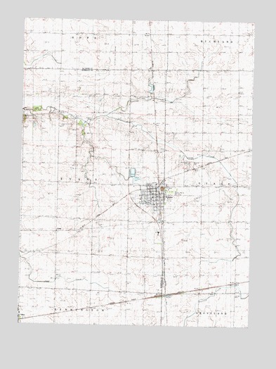
Wenona, IL USGS Topographic Map
Click on map above to begin viewing in our Map Viewer.

This topographic map contains these locations and features:
Feature Name Type Latitude Longitude GNIS ID View Map
Bethany CemeteryCemeteryN41.0684°W89.0387°1719814View Map
Bethany Lutheran ChurchChurchN41.0550°W89.0551°1962343View Map
Cherry Point CemeteryCemeteryN41.0814°W89.1042°1719813View Map
City of WenonaCivilN41.0486°W89.0522°2397256View Map
Climax School (historical)SchoolN41.0292°W89.1065°406260View Map
Entwistle Airport (historical)AirportN41.1187°W89.0458°427477View Map
EvansPopulated PlaceN41.0381°W89.1056°422679View Map
Evans Center School (historical)SchoolN41.0584°W89.1054°408098View Map
Fieldcrest Middle School-EastSchoolN41.0578°W89.0517°1808658View Map
Foote AirportAirportN41.0874°W89.0998°427908View Map
Hamilton School (historical)SchoolN41.0864°W89.0987°409699View Map
Interchange 35CrossingN41.0281°W89.0559°1808662View Map
Interchange 41CrossingN41.1192°W89.0748°1816068View Map
Lambourn School (historical)SchoolN41.1114°W89.1056°411778View Map
Moore School (historical)SchoolN41.1200°W89.0287°413787View Map
Morgan School (historical)SchoolN41.0903°W89.0673°413824View Map
Nike Site CM-55R (historical)MilitaryN41.0561°W89.0481°2085558View Map
Park College School (historical)SchoolN41.1203°W89.0667°415382View Map
Revere School (historical)SchoolN41.0286°W89.0273°416561View Map
Saint Johns Lutheran ChurchChurchN41.0031°W89.1245°1962601View Map
Saint Johns United Methodist ChurchChurchN41.0539°W89.0517°1962348View Map
Saint Mary's CemeteryCemeteryN41.0542°W89.0409°1719815View Map
Saint Marys ChurchChurchN41.0495°W89.0526°1962349View Map
Schulte School (historical)SchoolN41.0886°W89.0267°418119View Map
Township of EvansCivilN41.0594°W89.1043°428982View Map
Trimont School (historical)SchoolN41.0278°W89.0667°419847View Map
WenonaPopulated PlaceN41.0525°W89.0504°420750View Map
Wenona Ambulance ServiceBuildingN41.0544°W89.0505°2673914View Map
Wenona Community CemeteryCemeteryN41.0672°W89.0345°420748View Map
Wenona Fire Protection DistrictBuildingN41.0522°W89.0503°2640288View Map
Wenona Police DepartmentBuildingN41.0526°W89.0503°2757096View Map
Wenona Post OfficePost OfficeN41.0546°W89.0504°2788228View Map
Zion CemeteryCemeteryN41.0647°W89.0279°1719812View Map
Zion Lutheran ChurchChurchN41.0536°W89.0512°1962350View Map

Note: Coordinates in the location and feature list above are referenced to NAD83 datum.


Copyright (C) 2008-2025 Ryan Niemi / Sunset Dynamics ... All Rights Reserved