TopoQuest Logo
Do you find TopoQuest useful?
Help keep TopoQuest running and adding new maps/features by donating!
Bitcoin:  19c7KJd3qBynnjoSw5npx9KScwjBe4ifkT
Litecoin:  LXs6TkuXGGXo1vDsWCkWVdjQX94eUKd6ui
Home View Maps Find Maps Find Places Resources & Links


Clark, Wyoming Topographic Map

USGS Map Title: Clark, WY
USGS Map MRC: 44109H2
DRG (GeoTIFF) Download: o44109h2.tif


Neighboring USGS Topographic Map Quads:


  Mount Maurice, MT  
45109A3
 

  Tolman Flat, MT  
45109A2
 

  Hollenbeck Draw, MT  
45109A1
 

  North Bennett Creek, WY  
44109H3
 

  Clark, WY  
44109H2
 

  Badger Basin, WY  
44109H1
 

  Bald Peak, WY  
44109G3
 

  Chapman Bench, WY  
44109G2
 

  Badlands Hills, WY  
44109G1


Map MRC Location:

N45°
W110°
N45°
W109°
H8 H7 H6 H5 H4 H3 H2 H1
G8 G7 G6 G5 G4 G3 G2 G1
F8 F7 F6 F5 F4 F3 F2 F1
E8 E7 E6 E5 E4 E3 E2 E1
D8 D7 D6 D5 D4 D3 D2 D1
C8 C7 C6 C5 C4 C3 C2 C1
B8 B7 B6 B5 B4 B3 B2 B1
A8 A7 A6 A5 A4 A3 A2 A1
N44°
W110°
N44°
W109°

Clark, WY USGS 1:24K Topographic Map Preview:
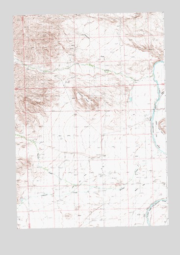
Clark, WY USGS Topographic Map
Click on map above to begin viewing in our Map Viewer.

This topographic map contains these locations and features:
Feature Name Type Latitude Longitude GNIS ID View Map
Anna May DitchCanalN44.9041°W109.1951°1584842View Map
Badura Number 1 DamDamN44.9466°W109.1490°1607734View Map
Badura Number 1 ReservoirReservoirN44.9466°W109.1490°1607735View Map
Bennett Buttes Cemetery - Clark CemeteryCemeteryN44.9008°W109.1690°1586734View Map
Bennett CreekStreamN44.9199°W109.1324°1598111View Map
Bennett Creek DitchCanalN44.9005°W109.1390°1585380View Map
ClarkPopulated PlaceN44.8994°W109.1510°1597259View Map
Clark SchoolSchoolN44.9094°W109.1799°1586740View Map
Forsman RanchLocaleN44.9002°W109.2082°1588630View Map
Garrett RanchLocaleN44.9624°W109.1426°1588831View Map
Gruenig RanchLocaleN44.9099°W109.2249°1589180View Map
Johnson RanchLocaleN44.9694°W109.2363°1590200View Map
Kelly DitchCanalN44.9288°W109.2018°1590311View Map
Line CreekStreamN44.9644°W109.1357°786176View Map
Linquist RanchLocaleN44.9169°W109.1785°1590718View Map
Littlerock CreekStreamN44.8988°W109.1871°1601060View Map
Miles BattlefieldLocaleN44.9033°W109.1604°1591575View Map
Noble RanchLocaleN44.9772°W109.1457°1592075View Map
Owens RanchLocaleN44.9688°W109.2051°1592515View Map
Park County Fire Protection District 4 ClarkBuildingN44.9029°W109.1714°2673590View Map
Robertson DrawValleyN44.9652°W109.1660°1593537View Map
Robertson DrawValleyN44.9652°W109.1660°789650View Map
Sugarloaf ButteSummitN44.9522°W109.1946°1595156View Map

Note: Coordinates in the location and feature list above are referenced to NAD83 datum.


Copyright (C) 2008-2025 Ryan Niemi / Sunset Dynamics ... All Rights Reserved