TopoQuest Logo
Do you find TopoQuest useful?
Help keep TopoQuest running and adding new maps/features by donating!
Bitcoin:  19c7KJd3qBynnjoSw5npx9KScwjBe4ifkT
Litecoin:  LXs6TkuXGGXo1vDsWCkWVdjQX94eUKd6ui
Home View Maps Find Maps Find Places Resources & Links


Conejo Creek West, New Mexico Topographic Map

USGS Map Title: Conejo Creek West, NM
USGS Map MRC: 34104B4
DRG (GeoTIFF) Download: o34104b4.tif


Neighboring USGS Topographic Map Quads:


  Horney Ranch, NM  
34104C5
 

  West Camp, NM  
34104C4
 

  Alamo Ranch, NM  
34104C3
 

  Dunlap NE, NM  
34104B5
 

  Conejo Creek West, NM  
34104B4
 

  Conejo Creek East, NM  
34104B3
 

  Dunlap, NM  
34104A5
 

  Lovelady Draw, NM  
34104A4
 

  La Espia Peak, NM  
34104A3


Map MRC Location:

N35°
W105°
N35°
W104°
H8 H7 H6 H5 H4 H3 H2 H1
G8 G7 G6 G5 G4 G3 G2 G1
F8 F7 F6 F5 F4 F3 F2 F1
E8 E7 E6 E5 E4 E3 E2 E1
D8 D7 D6 D5 D4 D3 D2 D1
C8 C7 C6 C5 C4 C3 C2 C1
B8 B7 B6 B5 B4 B3 B2 B1
A8 A7 A6 A5 A4 A3 A2 A1
N34°
W105°
N34°
W104°

Conejo Creek West, NM USGS 1:24K Topographic Map Preview:
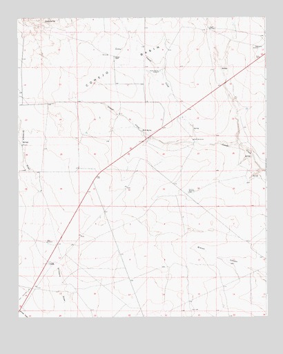
Conejo Creek West, NM USGS Topographic Map
Click on map above to begin viewing in our Map Viewer.

This topographic map contains these locations and features:
Feature Name Type Latitude Longitude GNIS ID View Map
10005 Water WellWellN34.2169°W104.4710°931385View Map
10006 Water WellWellN34.2459°W104.4039°930906View Map
10007 Water WellWellN34.2450°W104.4038°930905View Map
10008 Water WellWellN34.2346°W104.4547°931378View Map
10009 Water WellWellN34.2328°W104.4512°931377View Map
10013 Water WellWellN34.2247°W104.4519°930900View Map
10014 Water WellWellN34.2101°W104.4490°931384View Map
10017 Water WellWellN34.1779°W104.3961°931389View Map
10018 Water WellWellN34.1817°W104.3839°931390View Map
10765 Water WellWellN34.1481°W104.4838°931395View Map
10766 Water WellWellN34.1361°W104.4799°931392View Map
10776 Water WellWellN34.1473°W104.3918°931396View Map
10777 Water WellWellN34.1287°W104.4344°930891View Map
10779 Water WellWellN34.1567°W104.4859°930893View Map
10848 Water WellWellN34.1984°W104.4980°930898View Map
10849 Water WellWellN34.1881°W104.4961°931391View Map
Brannon WindmillLocaleN34.1770°W104.4147°896923View Map
Conejo BasinBasinN34.2301°W104.4483°897346View Map
Conejo SpringSpringN34.2483°W104.4860°896954View Map
Deep WindmillLocaleN34.2376°W104.3783°896969View Map
Little Conejo CreekStreamN34.1979°W104.4103°897086View Map
Mum SpringSpringN34.2029°W104.4376°897123View Map
North WindmillsLocaleN34.1992°W104.4119°897149View Map
Reed WindmillLocaleN34.2456°W104.4036°897189View Map
School Section WindmillLocaleN34.2276°W104.4289°897212View Map
Shaw SpringSpringN34.1623°W104.4347°902779View Map
Stevens RanchLocaleN34.2340°W104.4516°897245View Map
Trigg RanchLocaleN34.1476°W104.4847°897257View Map
West WindmillLocaleN34.1565°W104.4864°897279View Map

Note: Coordinates in the location and feature list above are referenced to NAD83 datum.


Copyright (C) 2008-2025 Ryan Niemi / Sunset Dynamics ... All Rights Reserved