TopoQuest Logo
Do you find TopoQuest useful?
Help keep TopoQuest running and adding new maps/features by donating!
Bitcoin:  19c7KJd3qBynnjoSw5npx9KScwjBe4ifkT
Litecoin:  LXs6TkuXGGXo1vDsWCkWVdjQX94eUKd6ui
Home View Maps Find Maps Find Places Resources & Links


Dutchman Creek, Oregon Topographic Map

USGS Map Title: Dutchman Creek, OR
USGS Map MRC: 44120E6
DRG (GeoTIFF) Download: o44120e6.tif


Neighboring USGS Topographic Map Quads:


  Ashwood, OR  
44120F7
 

  Axehandle Butte, OR  
44120F6
 

  Horse Heaven Creek, OR  
44120F5
 

  Foley Butte, OR  
44120E7
 

  Dutchman Creek, OR  
44120E6
 

  Opal Mountain, OR  
44120E5
 

  Hensley Butte, OR  
44120D7
 

  Salt Butte, OR  
44120D6
 

  Steins Pillar, OR  
44120D5


Map MRC Location:

N45°
W121°
N45°
W120°
H8 H7 H6 H5 H4 H3 H2 H1
G8 G7 G6 G5 G4 G3 G2 G1
F8 F7 F6 F5 F4 F3 F2 F1
E8 E7 E6 E5 E4 E3 E2 E1
D8 D7 D6 D5 D4 D3 D2 D1
C8 C7 C6 C5 C4 C3 C2 C1
B8 B7 B6 B5 B4 B3 B2 B1
A8 A7 A6 A5 A4 A3 A2 A1
N44°
W121°
N44°
W120°

Dutchman Creek, OR USGS 1:24K Topographic Map Preview:
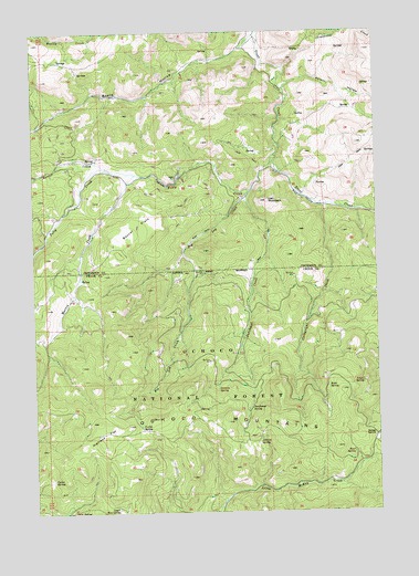
Dutchman Creek, OR USGS Topographic Map
Click on map above to begin viewing in our Map Viewer.

This topographic map contains these locations and features:
Feature Name Type Latitude Longitude GNIS ID View Map
Alder SpringSpringN44.5000°W120.7383°1137105View Map
Aldrich SpringSpringN44.5191°W120.6690°1137117View Map
Angus SpringSpringN44.5337°W120.6314°1137222View Map
Barber CreekStreamN44.5893°W120.7228°1137506View Map
Big Log CreekStreamN44.5837°W120.6711°1138038View Map
Board HollowValleyN44.6243°W120.6689°1138353View Map
Boxcar FlatsFlatN44.5749°W120.7125°1138542View Map
Cartwright CreekStreamN44.5799°W120.6472°1139408View Map
Cat MountainSummitN44.5807°W120.6660°1139463View Map
Curtis SpringSpringN44.5223°W120.7127°1140572View Map
Cyrus SpringSpringN44.5085°W120.7448°1140580View Map
Dutchman CreekStreamN44.5821°W120.6734°1141437View Map
Dutchman SpringSpringN44.5268°W120.6737°1141443View Map
Foley CreekStreamN44.5929°W120.6625°1142286View Map
Highland FlatFlatN44.5207°W120.7253°1143588View Map
Hunt SpringSpringN44.5152°W120.6352°1143924View Map
Martin CreekStreamN44.5879°W120.7145°1145844View Map
McKay SaddleGapN44.5201°W120.6261°1145992View Map
Ochillee SpringSpringN44.5318°W120.6845°1147138View Map
Poison HollowValleyN44.6107°W120.6589°1147825View Map
Ruth SpringSpringN44.5323°W120.6444°1148870View Map
Studhorse CreekStreamN44.6154°W120.6592°1150501View Map
Trout Creek Cow CampLocaleN44.5776°W120.6259°1151449View Map
Upper Ray SpringSpringN44.5011°W120.7214°1151697View Map

Note: Coordinates in the location and feature list above are referenced to NAD83 datum.


Copyright (C) 2008-2024 Ryan Niemi / Sunset Dynamics ... All Rights Reserved