TopoQuest Logo
Do you find TopoQuest useful?
Help keep TopoQuest running and adding new maps/features by donating!
Bitcoin:  19c7KJd3qBynnjoSw5npx9KScwjBe4ifkT
Litecoin:  LXs6TkuXGGXo1vDsWCkWVdjQX94eUKd6ui
Home View Maps Find Maps Find Places Resources & Links


Eastman, Wisconsin Topographic Map

USGS Map Title: Eastman, WI
USGS Map MRC: 43091B1
DRG (GeoTIFF) Download: o43091b1.tif


Neighboring USGS Topographic Map Quads:


  Lansing, IA  
43091C2
 

  Ferryville, WI  
43091C1
 

  Mount Sterling, WI  
43090C8
 

  Harpers Ferry, IA  
43091B2
 

  Eastman, WI  
43091B1
 

  Crowley Ridge, WI  
43090B8
 

  Prairie du Chien, WI  
43091A2
 

  Bridgeport, WI  
43091A1
 

  Wauzeka West, WI  
43090A8


Map MRC Location:

N44°
W92°
N44°
W91°
H8 H7 H6 H5 H4 H3 H2 H1
G8 G7 G6 G5 G4 G3 G2 G1
F8 F7 F6 F5 F4 F3 F2 F1
E8 E7 E6 E5 E4 E3 E2 E1
D8 D7 D6 D5 D4 D3 D2 D1
C8 C7 C6 C5 C4 C3 C2 C1
B8 B7 B6 B5 B4 B3 B2 B1
A8 A7 A6 A5 A4 A3 A2 A1
N43°
W92°
N43°
W91°

Eastman, WI USGS 1:24K Topographic Map Preview:
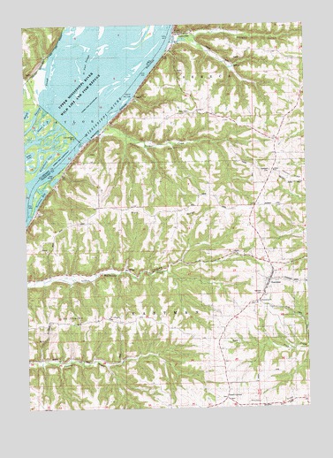
Eastman, WI USGS Topographic Map
Click on map above to begin viewing in our Map Viewer.

This topographic map contains these locations and features:
Feature Name Type Latitude Longitude GNIS ID View Map
Bonney School (historical)SchoolN43.1911°W91.0223°1846333View Map
Butler LakeLakeN43.2080°W91.1237°1825203View Map
Campbell CemeteryCemeteryN43.2022°W91.0171°1562677View Map
Du Charme RidgeRidgeN43.1550°W91.0921°1564135View Map
Du Charme Ridge School (historical)SchoolN43.1536°W91.1121°1846355View Map
EastmanPopulated PlaceN43.1664°W91.0176°1564390View Map
Eastman Elementary SchoolSchoolN43.1639°W91.0185°1846358View Map
Eastman Volunteer Fire DepartmentBuildingN43.1669°W91.0136°2698132View Map
Gimmel LakeLakeN43.2178°W91.1168°1825204View Map
Gordons BayBayN43.1941°W91.1182°1846374View Map
Hazen CornersLocaleN43.1286°W91.0379°1566239View Map
Hazen Corners School (historical)SchoolN43.1333°W91.0365°1846382View Map
Island Number One Hundred Fifty-nineIslandN43.2247°W91.0832°1567030View Map
Leitner CreekStreamN43.2155°W91.0924°1846395View Map
Leitner HollowValleyN43.2161°W91.0892°1567960View Map
Leitner School (historical)SchoolN43.2197°W91.0629°1846396View Map
Lock and Dam 9DamN43.2128°W91.1009°1568480View Map
Lock and Dam NoDamN43.2128°W91.1021°458550View Map
LynxvillePopulated PlaceN43.2464°W91.0562°1568849View Map
Lynxville Elementary SchoolSchoolN43.2480°W91.0499°1846403View Map
Morgan HollowValleyN43.2454°W91.0578°1569730View Map
National CemeteryCemeteryN43.1622°W91.0204°2704000View Map
Oil Spring CreekStreamN43.2198°W91.1216°459812View Map
Phillip School (historical)SchoolN43.1908°W91.0932°1846425View Map
Pool 9ReservoirN43.2190°W91.0924°1792946View Map
Rittenhouse LakeLakeN43.2064°W91.1153°1825202View Map
Saint Paul SloughChannelN43.2328°W91.0960°461285View Map
Saint Wencelaus CemeteryCemeteryN43.1591°W91.0235°1846453View Map
Saint Wenceslaus ChurchChurchN43.1594°W91.0235°1573598View Map
Shaw Hill School (historical)SchoolN43.2133°W91.0168°1846459View Map
Shulz Crossing SloughGutN43.1686°W91.1062°1846460View Map
South Elementary SchoolSchoolN43.2019°W91.0148°1574491View Map
Village of EastmanCivilN43.1622°W91.0253°1583115View Map
Village of LynxvilleCivilN43.2492°W91.0463°1583617View Map
Wagner School (historical)SchoolN43.1530°W91.0824°1846480View Map
Wall RidgeRidgeN43.1886°W91.0740°1576163View Map
Wall Ridge School (historical)SchoolN43.1947°W91.0479°1846482View Map

Note: Coordinates in the location and feature list above are referenced to NAD83 datum.


Copyright (C) 2008-2024 Ryan Niemi / Sunset Dynamics ... All Rights Reserved