TopoQuest Logo
Do you find TopoQuest useful?
Help keep TopoQuest running and adding new maps/features by donating!
Bitcoin:  19c7KJd3qBynnjoSw5npx9KScwjBe4ifkT
Litecoin:  LXs6TkuXGGXo1vDsWCkWVdjQX94eUKd6ui
Home View Maps Find Maps Find Places Resources & Links


Bailey Mountain, Montana Topographic Map

USGS Map Title: Bailey Mountain, MT
USGS Map MRC: 46112F8
DRG (GeoTIFF) Download: o46112f8.tif


Neighboring USGS Topographic Map Quads:


  Chimney Lakes, MT  
46113G1
 

  Helmville, MT  
46112G8
 

  Nevada Lake, MT  
46112G7
 

  Limestone Ridge, MT  
46113F1
 

  Bailey Mountain, MT  
46112F8
 

  Windy Rock, MT  
46112F7
 

  Dunkleberg Creek, MT  
46113E1
 

  Griffin Creek, MT  
46112E8
 

  Garrison, MT  
46112E7


Map MRC Location:

N47°
W113°
N47°
W112°
H8 H7 H6 H5 H4 H3 H2 H1
G8 G7 G6 G5 G4 G3 G2 G1
F8 F7 F6 F5 F4 F3 F2 F1
E8 E7 E6 E5 E4 E3 E2 E1
D8 D7 D6 D5 D4 D3 D2 D1
C8 C7 C6 C5 C4 C3 C2 C1
B8 B7 B6 B5 B4 B3 B2 B1
A8 A7 A6 A5 A4 A3 A2 A1
N46°
W113°
N46°
W112°

Bailey Mountain, MT USGS 1:24K Topographic Map Preview:
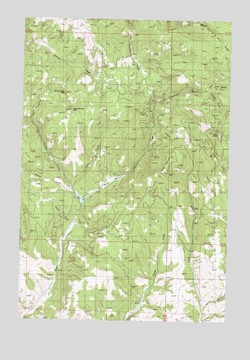
Bailey Mountain, MT USGS Topographic Map
Click on map above to begin viewing in our Map Viewer.

This topographic map contains these locations and features:
Feature Name Type Latitude Longitude GNIS ID View Map
11N03W15CBCC01 WellWellN46.7127°W112.9781°817913View Map
11N03W16CCCB01 WellWellN46.7058°W112.9995°817889View Map
Bailey MountainSummitN46.6880°W112.9153°768447View Map
Bobcat GulchValleyN46.7119°W112.9228°769068View Map
Bobcat GulchValleyN46.7124°W112.9231°769069View Map
Buckskin GulchValleyN46.7219°W112.8903°769329View Map
D'Alton GulchValleyN46.7047°W112.9217°770420View Map
Deer CreekStreamN46.7074°W112.9956°770566View Map
Devil MountainSummitN46.7483°W112.9009°770615View Map
Elk Swamp CreekStreamN46.6760°W112.9670°771198View Map
Fourth of July RidgeRidgeN46.7322°W112.8750°771575View Map
Garnet RangeRangeN46.7216°W112.9592°771717View Map
Gordon GulchValleyN46.6652°W112.9709°771871View Map
Gordon GulchValleyN46.6655°W112.9709°771872View Map
Immaculate Conception CemeteryCemeteryN46.7216°W112.8799°1803292View Map
Kelley CreekStreamN46.6780°W112.9706°772959View Map
Limestone CanyonValleyN46.7149°W112.9220°773350View Map
Limestone CanyonValleyN46.7152°W112.9217°773351View Map
Little BaldySummitN46.7030°W112.8834°773390View Map
Lost CreekStreamN46.7149°W112.9220°773688View Map
MacIver MeadowFlatN46.6819°W112.9584°773783View Map
Miller LakeReservoirN46.6741°W112.9641°774246View Map
Miller Lake DamDamN46.6749°W112.9626°796342View Map
North Chimney PeakSummitN46.7194°W112.9756°774685View Map
Salt GulchValleyN46.7230°W112.8878°776144View Map
Salt GulchValleyN46.7233°W112.8876°776145View Map
South Chimney PeakSummitN46.7119°W112.9709°776765View Map
Tewfel GulchValleyN46.6299°W112.8898°777485View Map
Tewfel GulchValleyN46.6302°W112.8898°777486View Map
Wisner GulchValleyN46.6780°W112.9706°778613View Map

Note: Coordinates in the location and feature list above are referenced to NAD83 datum.


Copyright (C) 2008-2025 Ryan Niemi / Sunset Dynamics ... All Rights Reserved