TopoQuest Logo
Do you find TopoQuest useful?
Help keep TopoQuest running and adding new maps/features by donating!
Bitcoin:  19c7KJd3qBynnjoSw5npx9KScwjBe4ifkT
Litecoin:  LXs6TkuXGGXo1vDsWCkWVdjQX94eUKd6ui
Home View Maps Find Maps Find Places Resources & Links


Baker Point, Oregon Topographic Map

USGS Map Title: Baker Point, OR
USGS Map MRC: 45123H1
DRG (GeoTIFF) Download: o45123h1.tif


Neighboring USGS Topographic Map Quads:


  Clatskanie, OR  
46123A2
 

  Delena, OR  
46123A1
 

  Rainier, OR  
46122A8
 

  Pittsburg, OR  
45123H2
 

  Baker Point, OR  
45123H1
 

  Trenholm, OR  
45122H8
 

  Vernonia, OR  
45123G2
 

  Bacona, OR  
45123G1
 

  Chapman, OR  
45122G8


Map MRC Location:

N46°
W124°
N46°
W123°
H8 H7 H6 H5 H4 H3 H2 H1
G8 G7 G6 G5 G4 G3 G2 G1
F8 F7 F6 F5 F4 F3 F2 F1
E8 E7 E6 E5 E4 E3 E2 E1
D8 D7 D6 D5 D4 D3 D2 D1
C8 C7 C6 C5 C4 C3 C2 C1
B8 B7 B6 B5 B4 B3 B2 B1
A8 A7 A6 A5 A4 A3 A2 A1
N45°
W124°
N45°
W123°

Baker Point, OR USGS 1:24K Topographic Map Preview:
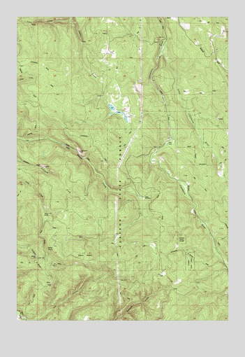
Baker Point, OR USGS Topographic Map
Click on map above to begin viewing in our Map Viewer.

This topographic map contains these locations and features:
Feature Name Type Latitude Longitude GNIS ID View Map
Baker PointSummitN45.9054°W123.1048°1117161View Map
Camp WilkersonParkN45.9254°W123.0507°1118538View Map
Chandler Nature ParkParkN45.9546°W123.0682°2040233View Map
Columbia CountyCivilN45.9438°W123.0883°1135847View Map
Deepwood EstateParkN45.9293°W123.0309°2040234View Map
Fish PondsLakeN45.9603°W123.0654°1130246View Map
Lava CreekStreamN45.9990°W123.0929°1122991View Map
Little Clatskanie RiverStreamN45.9887°W123.0390°1123154View Map
Mount CedaraSummitN45.9004°W123.0939°1136131View Map
Oak Ranch PitMineN45.9446°W123.0884°1124914View Map
Titus PondReservoirN45.9186°W123.1071°1128134View Map
Wilark Pioneer CemeteryCemeteryN45.8873°W123.0327°1130247View Map

Note: Coordinates in the location and feature list above are referenced to NAD83 datum.


Copyright (C) 2008-2024 Ryan Niemi / Sunset Dynamics ... All Rights Reserved