TopoQuest Logo
Do you find TopoQuest useful?
Help keep TopoQuest running and adding new maps/features by donating!
Bitcoin:  19c7KJd3qBynnjoSw5npx9KScwjBe4ifkT
Litecoin:  LXs6TkuXGGXo1vDsWCkWVdjQX94eUKd6ui
Home View Maps Find Maps Find Places Resources & Links


Jawbone Ridge, California Topographic Map

USGS Map Title: Jawbone Ridge, CA
USGS Map MRC: 37120G1
DRG (GeoTIFF) Download: o37120g1.tif


Neighboring USGS Topographic Map Quads:


  Tuolumne, CA  
37120H2
 

  Duckwall Mountain, CA  
37120H1
 

  Cherry Lake South, CA  
37119H8
 

  Groveland, CA  
37120G2
 

  Jawbone Ridge, CA  
37120G1
 

  Ascension Mountain, CA  
37119G8
 

  Coulterville, CA  
37120F2
 

  Buckhorn Peak, CA  
37120F1
 

  Kinsley, CA  
37119F8


Map MRC Location:

N38°
W121°
N38°
W120°
H8 H7 H6 H5 H4 H3 H2 H1
G8 G7 G6 G5 G4 G3 G2 G1
F8 F7 F6 F5 F4 F3 F2 F1
E8 E7 E6 E5 E4 E3 E2 E1
D8 D7 D6 D5 D4 D3 D2 D1
C8 C7 C6 C5 C4 C3 C2 C1
B8 B7 B6 B5 B4 B3 B2 B1
A8 A7 A6 A5 A4 A3 A2 A1
N37°
W121°
N37°
W120°

Jawbone Ridge, CA USGS 1:24K Topographic Map Preview:
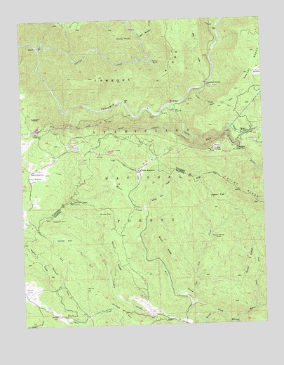
Jawbone Ridge, CA USGS Topographic Map
Click on map above to begin viewing in our Map Viewer.

This topographic map contains these locations and features:
Feature Name Type Latitude Longitude GNIS ID View Map
Alder CreekStreamN37.8494°W120.0282°256160View Map
Argo MineMineN37.7647°W120.0924°256315View Map
Blackstone CreekStreamN37.7535°W120.0924°257185View Map
Brush RidgeRidgeN37.7824°W120.0513°257536View Map
Buck MeadowsPopulated PlaceN37.8127°W120.0644°257574View Map
Buck Meadows Census Designated PlaceCensusN37.8126°W120.0653°2582952View Map
Buck Meadows Forest Service StationLocaleN37.8221°W120.0982°1809263View Map
Bull Meadow CreekStreamN37.8674°W120.0624°257668View Map
Burch MeadowFlatN37.8099°W120.1194°257700View Map
China FlatFlatN37.7966°W120.0830°221027View Map
Clavey RiverStreamN37.8638°W120.1163°266572View Map
Colfax SpringPopulated PlaceN37.8208°W120.0277°258590View Map
Deer Lick CreekStreamN37.7633°W120.0385°259235View Map
Drew CreekStreamN37.8424°W120.0396°259529View Map
Drew MeadowFlatN37.8516°W120.0027°259531View Map
Frank Harris PointSummitN37.7844°W120.0238°1658573View Map
Gold Queen MineMineN37.8349°W120.1213°260659View Map
Golden Stairs TrailTrailN37.8410°W120.0235°260687View Map
Groveland Ranger StationLocaleN37.8227°W120.0980°260969View Map
Hobron HillSummitN37.7938°W120.1116°261382View Map
Hunter BendBendN37.8569°W120.0571°261638View Map
Hunter PointSummitN37.8669°W120.0746°1658801View Map
Jawbone RidgeRidgeN37.8510°W120.0582°261908View Map
Jordan CreekStreamN37.7519°W120.0416°262015View Map
Jordan FlatFlatN37.7846°W120.1041°262019View Map
Jordan OakLocaleN37.7849°W120.1091°1809292View Map
Lost Claim Camp GroundLocaleN37.8210°W120.0485°262928View Map
Lumsden BridgeBridgeN37.8483°W120.0291°268465View Map
Lumsden Bridge CampgroundLocaleN37.8477°W120.0296°1809267View Map
Lumsden CampgroundLocaleN37.8383°W120.0516°1809268View Map
Middle Tuolumne RiverStreamN37.8283°W120.0199°272451View Map
Moccasin Lower 9-004 DamDamN37.8116°W120.0310°1663346View Map
Moore CreekStreamN37.7510°W120.0357°263799View Map
Moore Creek CampgroundLocaleN37.7902°W120.0641°1652913View Map
Oakland Recreation CampLocaleN37.8280°W120.0066°264298View Map
Pigeon FlatFlatN37.8013°W120.0246°264717View Map
Pilot Ridge TrailTrailN37.8105°W120.0246°264741View Map
Rainbow Pool CampgroundLocaleN37.8210°W120.0171°1809270View Map
Rainbow Pool Picnic AreaLocaleN37.8205°W120.0169°1652912View Map
San Jose Recreation CampLocaleN37.8244°W120.0041°1809271View Map
Scott CreekStreamN37.7560°W120.0063°265936View Map
Scott RidgeRidgeN37.7746°W120.0102°265942View Map
Shingle HillSummitN37.7508°W120.0702°1659644View Map
Smith PeakSummitN37.8008°W120.1002°266332View Map
Smith Peak LookoutLocaleN37.8005°W120.1007°1809299View Map
Smith RidgeRidgeN37.7794°W120.0777°267267View Map
Smith StationLocaleN37.8127°W120.1213°267269View Map
South Fork CampgroundLocaleN37.8380°W120.0466°274824View Map
South Fork Tuolumne RiverStreamN37.8402°W120.0477°267514View Map
SweetwaterLocaleN37.8244°W120.0044°274825View Map
Sweetwater CampgroundLocaleN37.8249°W120.0002°253019View Map
The Pines CampgroundLocaleN37.8177°W120.0944°1809273View Map
Tuolumne Wild and Scenic RiverParkN37.8380°W120.0516°1655206View Map
Wagner ValleyValleyN37.7616°W120.1210°268733View Map
West Fork Jordan CreekStreamN37.7674°W120.0805°268905View Map
White Oak CreekStreamN37.7974°W120.0624°269009View Map

Note: Coordinates in the location and feature list above are referenced to NAD83 datum.


Copyright (C) 2008-2025 Ryan Niemi / Sunset Dynamics ... All Rights Reserved