TopoQuest Logo
Do you find TopoQuest useful?
Help keep TopoQuest running and adding new maps/features by donating!
Bitcoin:  19c7KJd3qBynnjoSw5npx9KScwjBe4ifkT
Litecoin:  LXs6TkuXGGXo1vDsWCkWVdjQX94eUKd6ui
Home View Maps Find Maps Find Places Resources & Links


Lockridge West, Iowa Topographic Map

USGS Map Title: Lockridge West, IA
USGS Map MRC: 40091H7
DRG (GeoTIFF) Download: o40091h7.tif


Neighboring USGS Topographic Map Quads:


  Fairfield North, IA  
41091A8
 

  Salina, IA  
41091A7
 

  Trenton, IA  
41091A6
 

  Fairfield South, IA  
40091H8
 

  Lockridge West, IA  
40091H7
 

  Lockridge East, IA  
40091H6
 

  Mount Zion, IA  
40091G8
 

  Stockport, IA  
40091G7
 

  Hillsboro, IA  
40091G6


Map MRC Location:

N41°
W92°
N41°
W91°
H8 H7 H6 H5 H4 H3 H2 H1
G8 G7 G6 G5 G4 G3 G2 G1
F8 F7 F6 F5 F4 F3 F2 F1
E8 E7 E6 E5 E4 E3 E2 E1
D8 D7 D6 D5 D4 D3 D2 D1
C8 C7 C6 C5 C4 C3 C2 C1
B8 B7 B6 B5 B4 B3 B2 B1
A8 A7 A6 A5 A4 A3 A2 A1
N40°
W92°
N40°
W91°

Lockridge West, IA USGS 1:24K Topographic Map Preview:
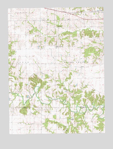
Lockridge West, IA USGS Topographic Map
Click on map above to begin viewing in our Map Viewer.

This topographic map contains these locations and features:
Feature Name Type Latitude Longitude GNIS ID View Map
Bonnifield CemeteryCemeteryN40.9878°W91.7969°454751View Map
Coal PortLocaleN40.9961°W91.7657°465466View Map
Fielder CemeteryCemeteryN40.9392°W91.8249°1976498View Map
Gilmore CemeteryCemeteryN40.9486°W91.7566°456905View Map
Glasgou ChurchChurchN40.9378°W91.7802°456917View Map
GlasgowPopulated PlaceN40.9409°W91.7804°456918View Map
Glasgow CemeteryCemeteryN40.9376°W91.7846°456920View Map
Glasgow Post Office (historical)Post OfficeN40.9409°W91.7804°1976348View Map
Glendale Post Office (historical)Post OfficeN40.9959°W91.8127°466545View Map
Jacob Wiley Historical MarkerParkN40.9081°W91.8457°1976371View Map
Johnny Clock MuseumBuildingN40.9956°W91.7641°1976476View Map
Jones BranchStreamN40.9250°W91.8038°457985View Map
Jones Family CemeteryCemeteryN40.9390°W91.8251°1976499View Map
Lockridge Fire and RescueBuildingN40.9945°W91.7520°2577354View Map
Morris Memorial County ParkParkN40.8881°W91.7960°463896View Map
Mount Zion CemeteryCemeteryN40.9614°W91.8086°459352View Map
Mount Zion Community HallBuildingN40.9614°W91.8093°1823587View Map
Pioneer CemeteryCemeteryN40.9081°W91.8457°1976500View Map
Rock CreekStreamN40.9028°W91.7863°460710View Map
Round Prairie ParkParkN40.9125°W91.8113°1976450View Map
Spencer CemeteryCemeteryN40.8792°W91.8010°461843View Map
Summer CreekStreamN40.8950°W91.7838°462075View Map
Township of Round PrairieCivilN40.9443°W91.7753°468645View Map
Union CemeteryCemeteryN40.9879°W91.8263°462420View Map
Woodthrush State ParkParkN40.9817°W91.8077°463198View Map
Wooster Post Office (historical)Post OfficeN40.9528°W91.8518°1976338View Map
Wooster School (historical)SchoolN40.9125°W91.8113°1976449View Map
Wright CemeteryCemeteryN40.9528°W91.8727°1823588View Map

Note: Coordinates in the location and feature list above are referenced to NAD83 datum.


Copyright (C) 2008-2025 Ryan Niemi / Sunset Dynamics ... All Rights Reserved