TopoQuest Logo
Do you find TopoQuest useful?
Help keep TopoQuest running and adding new maps/features by donating!
Bitcoin:  19c7KJd3qBynnjoSw5npx9KScwjBe4ifkT
Litecoin:  LXs6TkuXGGXo1vDsWCkWVdjQX94eUKd6ui
Home View Maps Find Maps Find Places Resources & Links


Salina, Iowa Topographic Map

USGS Map Title: Salina, IA
USGS Map MRC: 41091A7
DRG (GeoTIFF) Download: o41091a7.tif


Neighboring USGS Topographic Map Quads:


  Richland, IA  
41091B8
 

  Brighton, IA  
41091B7
 

  Wayland, IA  
41091B6
 

  Fairfield North, IA  
41091A8
 

  Salina, IA  
41091A7
 

  Trenton, IA  
41091A6
 

  Fairfield South, IA  
40091H8
 

  Lockridge West, IA  
40091H7
 

  Lockridge East, IA  
40091H6


Map MRC Location:

N42°
W92°
N42°
W91°
H8 H7 H6 H5 H4 H3 H2 H1
G8 G7 G6 G5 G4 G3 G2 G1
F8 F7 F6 F5 F4 F3 F2 F1
E8 E7 E6 E5 E4 E3 E2 E1
D8 D7 D6 D5 D4 D3 D2 D1
C8 C7 C6 C5 C4 C3 C2 C1
B8 B7 B6 B5 B4 B3 B2 B1
A8 A7 A6 A5 A4 A3 A2 A1
N41°
W92°
N41°
W91°

Salina, IA USGS 1:24K Topographic Map Preview:
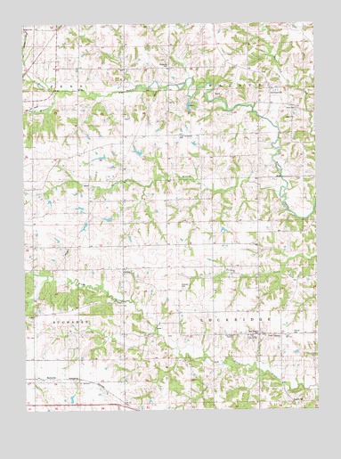
Salina, IA USGS Topographic Map
Click on map above to begin viewing in our Map Viewer.

This topographic map contains these locations and features:
Feature Name Type Latitude Longitude GNIS ID View Map
BeckwithPopulated PlaceN41.0092°W91.8646°464457View Map
BeckwithLocaleN41.0097°W91.8646°1976362View Map
Beckwith Post Office (historical)Post OfficeN41.0092°W91.8646°1976363View Map
Chilcott CemeteryCemeteryN41.0542°W91.8224°1976496View Map
Courtney CemeteryCemeteryN41.0944°W91.8319°1976491View Map
Four CornersLocaleN41.0242°W91.7660°456699View Map
Four Corners Post Office (historical)Post OfficeN41.0242°W91.7660°466542View Map
German Lutheran CemeteryCemeteryN41.0247°W91.7607°456884View Map
GermanvillePopulated PlaceN41.1042°W91.7693°464559View Map
Germanville Catholic CemeteryCemeteryN41.1090°W91.7730°456887View Map
Germanville Post Office (historical)Post OfficeN41.1036°W91.7660°466491View Map
Harveys Mills Post Office (historical)Post OfficeN41.1028°W91.8613°1976346View Map
Hope CemeteryCemeteryN41.0944°W91.7593°457640View Map
Hope ChurchChurchN41.0945°W91.7596°457644View Map
Hopkirk CemeteryCemeteryN41.0028°W91.7566°1825005View Map
Lower Richwoods CemeteryCemeteryN41.0884°W91.8085°458666View Map
New Sweden Baptist CemeteryCemeteryN41.0242°W91.7860°459489View Map
New Sweden Baptist ChurchChurchN41.0242°W91.7860°459490View Map
New Sweden CemeteryCemeteryN41.0247°W91.7754°459491View Map
New Sweden Lutheran CemeteryCemeteryN41.0239°W91.7799°459492View Map
New Sweden Lutheran ChurchChurchN41.0242°W91.7802°459493View Map
North Walnut CreekStreamN41.1031°W91.8607°459640View Map
Parsonville Post Office (historical)Post OfficeN41.0095°W91.8746°1981385View Map
Peterson CemeteryCemeteryN41.0395°W91.8077°460103View Map
Polishville CemeteryCemeteryN41.1118°W91.8128°460350View Map
Rocky BranchStreamN41.0703°W91.7657°460755View Map
Saint Johns Lutheran CemeteryCemeteryN41.0250°W91.7668°1976497View Map
Saint Peters and Pauls German Catholic CemeteryCemeteryN41.1092°W91.7732°1976493View Map
SalinaPopulated PlaceN41.0459°W91.8332°461377View Map
Salina CemeteryCemeteryN41.0420°W91.8332°461378View Map
Salina Post Office (historical)Post OfficeN41.0459°W91.8332°1976345View Map
South Walnut CreekStreamN41.1031°W91.8607°461821View Map
Township of LockridgeCivilN41.0314°W91.7753°468291View Map
Township of WalnutCivilN41.1184°W91.7741°468885View Map
Union CemeteryCemeteryN41.0971°W91.7585°462421View Map
Walnut CemeteryCemeteryN41.1236°W91.8749°462628View Map

Note: Coordinates in the location and feature list above are referenced to NAD83 datum.


Copyright (C) 2008-2025 Ryan Niemi / Sunset Dynamics ... All Rights Reserved