TopoQuest Logo
Do you find TopoQuest useful?
Help keep TopoQuest running and adding new maps/features by donating!
Bitcoin:  19c7KJd3qBynnjoSw5npx9KScwjBe4ifkT
Litecoin:  LXs6TkuXGGXo1vDsWCkWVdjQX94eUKd6ui
Home View Maps Find Maps Find Places Resources & Links


Long Ridge, California Topographic Map

USGS Map Title: Long Ridge, CA
USGS Map MRC: 40123A3
DRG (GeoTIFF) Download: o40123a3.tif


Neighboring USGS Topographic Map Quads:


  Zenia, CA  
40123B4
 

  Shannon Butte, CA  
40123B3
 

  Black Rock Mountain, CA  
40123B1
 

  Lake Mountain, CA  
40123A4
 

  Long Ridge, CA  
40123A3
 

  Four Corners Rock, CA  
40123A1
 

  Updegraff Ridge, CA  
39123H4
 

  Mina, CA  
39123H3
 

  Bluenose Ridge, CA  
39123H2


Map MRC Location:

N41°
W124°
N41°
W123°
H8 H7 H6 H5 H4 H3 H2 H1
G8 G7 G6 G5 G4 G3 G2 G1
F8 F7 F6 F5 F4 F3 F2 F1
E8 E7 E6 E5 E4 E3 E2 E1
D8 D7 D6 D5 D4 D3 D2 D1
C8 C7 C6 C5 C4 C3 C2 C1
B8 B7 B6 B5 B4 B3 B2 B1
A8 A7 A6 A5 A4 A3 A2 A1
N40°
W124°
N40°
W123°

Long Ridge, CA USGS 1:24K Topographic Map Preview:
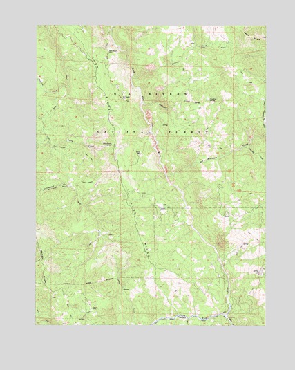
Long Ridge, CA USGS Topographic Map
Click on map above to begin viewing in our Map Viewer.

This topographic map contains these locations and features:
Feature Name Type Latitude Longitude GNIS ID View Map
Ben Duncan Mailbox TrailTrailN40.0590°W123.3525°256815View Map
Bob Hoaglin PlacePopulated PlaceN40.0943°W123.3286°1658091View Map
Church WilburnChurchN40.0485°W123.3086°277110View Map
Climbing SpringSpringN40.0935°W123.2821°221226View Map
Cottonwood CreekStreamN40.0577°W123.3564°258764View Map
Duncan RanchLocaleN40.0715°W123.3186°259611View Map
Fannie Wilburn Historical SiteLocaleN40.0907°W123.2878°277120View Map
Gypsy CreekStreamN40.0743°W123.3667°260998View Map
Hayden Place (historical)LocaleN40.0238°W123.2892°1683031View Map
Hoaglin CreekStreamN40.0993°W123.3581°261375View Map
Hoaglin Tom Duncan TrailTrailN40.0735°W123.3561°261376View Map
Hulls CreekStreamN40.0040°W123.2731°271685View Map
Lightfoot CreekStreamN40.0929°W123.3178°262444View Map
Little Red Mountain CreekStreamN40.0824°W123.2511°262698View Map
Littlefield CreekStreamN40.0743°W123.2634°262753View Map
Long RidgeRidgeN40.0552°W123.3267°262879View Map
Long Ridge School (historical)SchoolN40.0754°W123.3339°1683049View Map
Nielson PlacePopulated PlaceN40.0068°W123.3445°1659228View Map
North Fork WildernessReserveN40.1210°W123.3316°2035229View Map
Red Mountain CreekStreamN40.0624°W123.3045°265304View Map
Rock CreekStreamN40.1240°W123.3342°265492View Map
Schoolhouse SpringSpringN40.0754°W123.3349°265923View Map
Wilburn RanchLocaleN40.0485°W123.3084°269067View Map
Willie Hoaglin PlacePopulated PlaceN40.1140°W123.3364°1660181View Map
Willow CreekStreamN40.1038°W123.3231°269141View Map

Note: Coordinates in the location and feature list above are referenced to NAD83 datum.


Copyright (C) 2008-2025 Ryan Niemi / Sunset Dynamics ... All Rights Reserved