TopoQuest Logo
Do you find TopoQuest useful?
Help keep TopoQuest running and adding new maps/features by donating!
Bitcoin:  19c7KJd3qBynnjoSw5npx9KScwjBe4ifkT
Litecoin:  LXs6TkuXGGXo1vDsWCkWVdjQX94eUKd6ui
Home View Maps Find Maps Find Places Resources & Links


Madison Plateau, Montana Topographic Map

USGS Map Title: Madison Plateau, MT
USGS Map MRC: 45111F4
DRG (GeoTIFF) Download: o45111f4.tif


Neighboring USGS Topographic Map Quads:


  Three Forks SE, MT  
45111G5
 

  Manhattan SW, MT  
45111G4
 

  Manhattan, MT  
45111G3
 

  Norris NE, MT  
45111F5
 

  Madison Plateau, MT  
45111F4
 

  Anceney, MT  
45111F3
 

  Bear Trap Creek, MT  
45111E5
 

  Cherry Creek Canyon, MT  
45111E4
 

  Ruby Mountain, MT  
45111E3


Map MRC Location:

N46°
W112°
N46°
W111°
H8 H7 H6 H5 H4 H3 H2 H1
G8 G7 G6 G5 G4 G3 G2 G1
F8 F7 F6 F5 F4 F3 F2 F1
E8 E7 E6 E5 E4 E3 E2 E1
D8 D7 D6 D5 D4 D3 D2 D1
C8 C7 C6 C5 C4 C3 C2 C1
B8 B7 B6 B5 B4 B3 B2 B1
A8 A7 A6 A5 A4 A3 A2 A1
N45°
W112°
N45°
W111°

Madison Plateau, MT USGS 1:24K Topographic Map Preview:
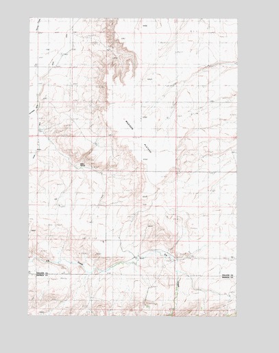
Madison Plateau, MT USGS Topographic Map
Click on map above to begin viewing in our Map Viewer.

This topographic map contains these locations and features:
Feature Name Type Latitude Longitude GNIS ID View Map
01S02E16DDA_01 WellWellN45.7460°W111.4755°811625View Map
01S02E21DBDB01 WellWellN45.7335°W111.4811°811515View Map
01S02E22BCBC01 WellWellN45.7383°W111.4741°811561View Map
01S02E22BCCB01 WellWellN45.7383°W111.4733°811560View Map
01S02E22CCDA01 WellWellN45.7308°W111.4700°811496View Map
01S02E23BCBC01 WellWellN45.7383°W111.4539°811559View Map
01S02E29AAC_01 WellWellN45.7269°W111.4983°811465View Map
01S02E29DDDB01 WellWellN45.7155°W111.4966°811361View Map
01S02E35DA__01 WellWellN45.7060°W111.4364°811298View Map
01S03E18DA__01 WellWellN45.7494°W111.3947°811649View Map
02S02E01DD__01 WellWellN45.6874°W111.4155°811137View Map
02S03E06DA__01 WellWellN45.6910°W111.3947°811172View Map
02S03E06DACD01 WellWellN45.6894°W111.3964°811158View Map
02S03E07AA__01 WellWellN45.6838°W111.3947°811109View Map
02S03E19ACBC01 WellWellN45.6516°W111.4022°810824View Map
02S03E19BDAB01 WellWellN45.6522°W111.4044°810825View Map
Hyde Post Office (historical)Post OfficeN45.7277°W111.4952°1743800View Map
Jorgenson Ditch (historical)CanalN45.7413°W111.4841°772909View Map
Madison PlateauPlainN45.6984°W111.4333°801118View Map
Sloan DitchCanalN45.7310°W111.4861°776650View Map
Sloan RanchLocaleN45.6969°W111.4952°776652View Map
Upper Madison School (historical)SchoolN45.7433°W111.4752°777929View Map
Willow SpringsSpringN45.6874°W111.4702°778556View Map
Windville Post Office (historical)Post OfficeN45.7347°W111.4827°1743668View Map

Note: Coordinates in the location and feature list above are referenced to NAD83 datum.


Copyright (C) 2008-2024 Ryan Niemi / Sunset Dynamics ... All Rights Reserved