TopoQuest Logo
Do you find TopoQuest useful?
Help keep TopoQuest running and adding new maps/features by donating!
Bitcoin:  19c7KJd3qBynnjoSw5npx9KScwjBe4ifkT
Litecoin:  LXs6TkuXGGXo1vDsWCkWVdjQX94eUKd6ui
Home View Maps Find Maps Find Places Resources & Links


Mildred NE, Montana Topographic Map

USGS Map Title: Mildred NE, MT
USGS Map MRC: 46104F7
DRG (GeoTIFF) Download: o46104f7.tif


Neighboring USGS Topographic Map Quads:


  Marsh SW, MT  
46104G8
 

  Simons Butte, MT  
46104G7
 

  Graveyard Hill SW, MT  
46104G6
 

  Mildred, MT  
46104F8
 

  Mildred NE, MT  
46104F7
 

  Dorothy Draw, MT  
46104F6
 

  Loony Hollow, MT  
46104E8
 

  Ismay North, MT  
46104E7
 

  Ayer Spring, MT  
46104E6


Map MRC Location:

N47°
W105°
N47°
W104°
H8 H7 H6 H5 H4 H3 H2 H1
G8 G7 G6 G5 G4 G3 G2 G1
F8 F7 F6 F5 F4 F3 F2 F1
E8 E7 E6 E5 E4 E3 E2 E1
D8 D7 D6 D5 D4 D3 D2 D1
C8 C7 C6 C5 C4 C3 C2 C1
B8 B7 B6 B5 B4 B3 B2 B1
A8 A7 A6 A5 A4 A3 A2 A1
N46°
W105°
N46°
W104°

Mildred NE, MT USGS 1:24K Topographic Map Preview:
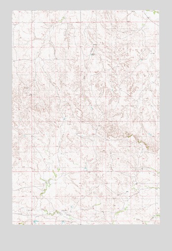
Mildred NE, MT USGS Topographic Map
Click on map above to begin viewing in our Map Viewer.

This topographic map contains these locations and features:
Feature Name Type Latitude Longitude GNIS ID View Map
10N55E03BB__01 WellWellN46.6539°W104.7941°817505View Map
10N55E04BC__01 WellWellN46.6503°W104.8150°817475View Map
10N55E06ACAD01 WellWellN46.6506°W104.8444°817479View Map
10N55E06DA__01 WellWellN46.6467°W104.8411°817437View Map
10N55E08CBAB01 WellWellN46.6308°W104.8350°817275View Map
11N55E01BB__01 WellWellN46.7411°W104.7513°818041View Map
11N55E02AC__01 WellWellN46.7375°W104.7619°818024View Map
11N55E02BD__01 WellWellN46.7375°W104.7672°818025View Map
11N55E03AD__01 WellWellN46.7375°W104.7777°818026View Map
11N55E05AC__01 WellWellN46.7375°W104.8250°818027View Map
11N55E08BC__01 WellWellN46.7231°W104.8355°817966View Map
11N55E11CC__01 WellWellN46.7158°W104.7725°817928View Map
11N55E14AD__01 WellWellN46.7086°W104.7566°817898View Map
11N55E16DB__01 WellWellN46.7050°W104.8039°817879View Map
11N55E23BC__01 WellWellN46.6939°W104.7725°817819View Map
11N55E30CBDB01 WellWellN46.6758°W104.8561°817718View Map
11N55E34BD__01 WellWellN46.6650°W104.7883°817602View Map
11N55E35DD__01 WellWellN46.6578°W104.7566°817524View Map
12N55E31DB__01 WellWellN46.7489°W104.8461°818068View Map
Buckley DamDamN46.7245°W104.8080°799199View Map
Lambing DrawValleyN46.7272°W104.7555°1715817View Map
Plum CouleeValleyN46.7489°W104.7611°1715819View Map
Pumpkin CouleeValleyN46.7417°W104.7602°1715818View Map
Red Hill School (historical)SchoolN46.6556°W104.8180°1715724View Map
Ruff School (historical)SchoolN46.7356°W104.8433°1715727View Map
Shad SpringSpringN46.7008°W104.8580°799200View Map
Trabert School (historical)SchoolN46.6650°W104.7864°1715745View Map
Vogele Reservoir DamDamN46.7183°W104.7505°796091View Map

Note: Coordinates in the location and feature list above are referenced to NAD83 datum.


Copyright (C) 2008-2025 Ryan Niemi / Sunset Dynamics ... All Rights Reserved