TopoQuest Logo
Do you find TopoQuest useful?
Help keep TopoQuest running and adding new maps/features by donating!
Bitcoin:  19c7KJd3qBynnjoSw5npx9KScwjBe4ifkT
Litecoin:  LXs6TkuXGGXo1vDsWCkWVdjQX94eUKd6ui
Home View Maps Find Maps Find Places Resources & Links


Parkers Corners, Michigan Topographic Map

USGS Map Title: Parkers Corners, MI
USGS Map MRC: 42084E1
DRG (GeoTIFF) Download: o42084e1.tif


Neighboring USGS Topographic Map Quads:


  Webberville, MI  
42084F2
 

  Fowlerville, MI  
42084F1
 

  Oak Grove, MI  
42083F8
 

  Millville, MI  
42084E2
 

  Parkers Corners, MI  
42084E1
 

  Howell, MI  
42083E8
 

  Stockbridge, MI  
42084D2
 

  Gregory, MI  
42084D1
 

  Pinckney, MI  
42083D8


Map MRC Location:

N43°
W85°
N43°
W84°
H8 H7 H6 H5 H4 H3 H2 H1
G8 G7 G6 G5 G4 G3 G2 G1
F8 F7 F6 F5 F4 F3 F2 F1
E8 E7 E6 E5 E4 E3 E2 E1
D8 D7 D6 D5 D4 D3 D2 D1
C8 C7 C6 C5 C4 C3 C2 C1
B8 B7 B6 B5 B4 B3 B2 B1
A8 A7 A6 A5 A4 A3 A2 A1
N42°
W85°
N42°
W84°

Parkers Corners, MI USGS 1:24K Topographic Map Preview:
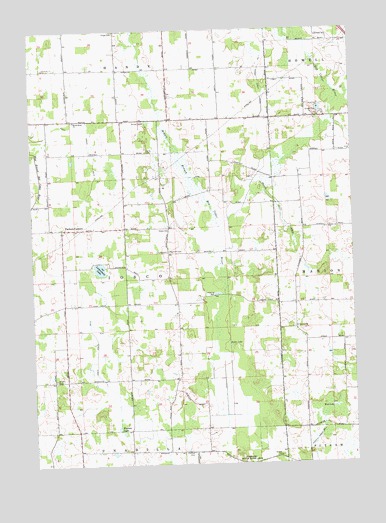
Parkers Corners, MI USGS Topographic Map
Click on map above to begin viewing in our Map Viewer.

This topographic map contains these locations and features:
Feature Name Type Latitude Longitude GNIS ID View Map
Burkhart Ridge Mobile Home ParkPopulated PlaceN42.6103°W84.0033°2630309View Map
Cloud Nine East AirportAirportN42.5496°W84.1048°1624096View Map
Eisele CemeteryCemeteryN42.5613°W84.0724°625412View Map
Fowlerville Fire Department Damon SubstationBuildingN42.6112°W84.0705°2620229View Map
Greene CemeteryCemeteryN42.5392°W84.0233°627344View Map
Handy Iosco Drain Number 1CanalN42.6106°W84.0350°1623391View Map
Harford CemeteryCemeteryN42.5034°W84.0638°627793View Map
Iosco Drain Number ThreeCanalN42.5959°W84.1030°629065View Map
Iosco Drain Number TwoCanalN42.5317°W84.1005°629064View Map
Iosco Post Office (historical)Post OfficeN42.5681°W84.1133°2631010View Map
Kuhn LakeLakeN42.5342°W84.0486°629886View Map
Lamoreaux LakeLakeN42.5565°W84.0987°630109View Map
Loree CemeteryCemeteryN42.5903°W84.0797°631066View Map
Marion Iosco DrainCanalN42.5709°W84.0275°631561View Map
Marion Post Office (historical)Post OfficeN42.5500°W84.0222°2631009View Map
Mason Road ChurchChurchN42.5992°W84.1080°631711View Map
Mud LakeLakeN42.5159°W84.0086°632927View Map
Munsell CemeteryCemeteryN42.5616°W84.0717°633127View Map
Paige CemeteryCemeteryN42.6244°W84.0914°634292View Map
Parkers CornersPopulated PlaceN42.5681°W84.1133°634396View Map
Parkers Corners SchoolSchoolN42.5672°W84.1125°2630354View Map
Township of IoscoCivilN42.5548°W84.0862°1626523View Map
Trinity ChurchChurchN42.5675°W84.0722°1615074View Map
Wasson LakeLakeN42.5106°W84.0927°1615838View Map
Wright CemeteryCemeteryN42.5245°W84.1169°1616833View Map

Note: Coordinates in the location and feature list above are referenced to NAD83 datum.


Copyright (C) 2008-2024 Ryan Niemi / Sunset Dynamics ... All Rights Reserved