TopoQuest Logo
Do you find TopoQuest useful?
Help keep TopoQuest running and adding new maps/features by donating!
Bitcoin:  19c7KJd3qBynnjoSw5npx9KScwjBe4ifkT
Litecoin:  LXs6TkuXGGXo1vDsWCkWVdjQX94eUKd6ui
Home View Maps Find Maps Find Places Resources & Links


Bible Grove, Missouri Topographic Map

USGS Map Title: Bible Grove, MO
USGS Map MRC: 40092C3
DRG (GeoTIFF) Download: o40092c3.tif


Neighboring USGS Topographic Map Quads:


  Downing NW, MO  
40092D4
 

  Downing, MO  
40092D3
 

  Memphis, MO  
40092D2
 

  Willmathsville, MO  
40092C4
 

  Bible Grove, MO  
40092C3
 

  Greensburg, MO  
40092C2
 

  Brashear, MO  
40092B4
 

  Hurdland, MO  
40092B3
 

  Edina, MO  
40092B2


Map MRC Location:

N41°
W93°
N41°
W92°
H8 H7 H6 H5 H4 H3 H2 H1
G8 G7 G6 G5 G4 G3 G2 G1
F8 F7 F6 F5 F4 F3 F2 F1
E8 E7 E6 E5 E4 E3 E2 E1
D8 D7 D6 D5 D4 D3 D2 D1
C8 C7 C6 C5 C4 C3 C2 C1
B8 B7 B6 B5 B4 B3 B2 B1
A8 A7 A6 A5 A4 A3 A2 A1
N40°
W93°
N40°
W92°

Bible Grove, MO USGS 1:24K Topographic Map Preview:
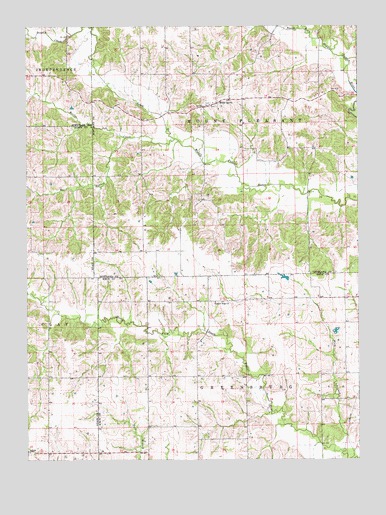
Bible Grove, MO USGS Topographic Map
Click on map above to begin viewing in our Map Viewer.

This topographic map contains these locations and features:
Feature Name Type Latitude Longitude GNIS ID View Map
Bee BranchStreamN40.3429°W92.3375°713861View Map
Bible GrovePopulated PlaceN40.3528°W92.3044°714123View Map
Bible Grove Christian Church CemeteryCemeteryN40.3524°W92.3033°2777524View Map
Bible Grove Church of Christ CemeteryCemeteryN40.3528°W92.3056°2777525View Map
Bridge CreekStreamN40.3426°W92.3190°714693View Map
Brushy CreekStreamN40.3725°W92.3588°714904View Map
Gaylen Hill DamDamN40.2584°W92.3635°761164View Map
Hazelville (historical)Populated PlaceN40.2956°W92.3207°740294View Map
Knob View School (historical)SchoolN40.3223°W92.2827°733059View Map
Meadow BrookStreamN40.2853°W92.3230°733071View Map
Meadow Brook School (historical)SchoolN40.2745°W92.3185°733073View Map
Miller SchoolSchoolN40.2792°W92.2546°733072View Map
Old Buzzard School (historical)SchoolN40.2959°W92.3232°733070View Map
Pleasant Ridge ChurchChurchN40.2953°W92.3049°724590View Map
Plum BranchStreamN40.2503°W92.2535°735796View Map
Rowland-Klopfenstein LakeReservoirN40.2578°W92.3118°762269View Map
Rowland-Klopfenstein Lake DamDamN40.2578°W92.3118°762268View Map
Slocum CemeteryCemeteryN40.2953°W92.2977°1765003View Map
Swearingen Lake DamDamN40.3167°W92.2569°762267View Map
Township of GreensburgCivilN40.2599°W92.2634°766850View Map
Township of Mount PleasantCivilN40.3464°W92.2973°767379View Map
Walter R Tompson DamDamN40.2884°W92.2602°761290View Map

Note: Coordinates in the location and feature list above are referenced to NAD83 datum.


Copyright (C) 2008-2025 Ryan Niemi / Sunset Dynamics ... All Rights Reserved