TopoQuest Logo
Do you find TopoQuest useful?
Help keep TopoQuest running and adding new maps/features by donating!
Bitcoin:  19c7KJd3qBynnjoSw5npx9KScwjBe4ifkT
Litecoin:  LXs6TkuXGGXo1vDsWCkWVdjQX94eUKd6ui
Home View Maps Find Maps Find Places Resources & Links


Protem NE, Missouri Topographic Map

USGS Map Title: Protem NE, MO
USGS Map MRC: 36092F7
DRG (GeoTIFF) Download: o36092f7.tif


Neighboring USGS Topographic Map Quads:


  Bradleyville, MO  
36092G8
 

  Brownbranch, MO  
36092G7
 

  Smallett, MO  
36092G6
 

  Hilda, MO  
36092F8
 

  Protem NE, MO  
36092F7
 

  Thornfield, MO  
36092F6
 

  Protem SW, MO  
36092E8
 

  Protem, MO  
36092E7
 

  Theodosia, MO  
36092E6


Map MRC Location:

N37°
W93°
N37°
W92°
H8 H7 H6 H5 H4 H3 H2 H1
G8 G7 G6 G5 G4 G3 G2 G1
F8 F7 F6 F5 F4 F3 F2 F1
E8 E7 E6 E5 E4 E3 E2 E1
D8 D7 D6 D5 D4 D3 D2 D1
C8 C7 C6 C5 C4 C3 C2 C1
B8 B7 B6 B5 B4 B3 B2 B1
A8 A7 A6 A5 A4 A3 A2 A1
N36°
W93°
N36°
W92°

Protem NE, MO USGS 1:24K Topographic Map Preview:
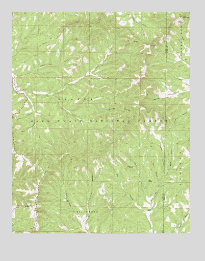
Protem NE, MO USGS Topographic Map
Click on map above to begin viewing in our Map Viewer.

This topographic map contains these locations and features:
Feature Name Type Latitude Longitude GNIS ID View Map
Bray HollowValleyN36.6926°W92.8593°749004View Map
Caney Lookout TowerTowerN36.7473°W92.7552°755023View Map
Caney Picnic AreaLocaleN36.7445°W92.7591°755541View Map
Clayton RidgeRidgeN36.6953°W92.8002°749377View Map
East View Post Office (historical)Post OfficeN36.7306°W92.7779°759889View Map
Eastview (historical)Populated PlaceN36.7306°W92.7779°740534View Map
Eastview School (historical)SchoolN36.7089°W92.7907°733639View Map
FairviewPopulated PlaceN36.6378°W92.8588°749882View Map
Gray HollowValleyN36.6412°W92.7782°750124View Map
HerculesPopulated PlaceN36.7076°W92.8730°750298View Map
Ironside School (historical)SchoolN36.6370°W92.8749°733638View Map
McAdoo CreekStreamN36.7145°W92.8749°750978View Map
Montgomery HollowValleyN36.6937°W92.8357°754403View Map
Pelham RidgeRidgeN36.7331°W92.7913°751538View Map
Pet HollowValleyN36.6370°W92.7816°751560View Map
PinnacleSummitN36.7306°W92.7793°751641View Map
Rock SpringSpringN36.6545°W92.7800°751927View Map
Short HollowValleyN36.6542°W92.7716°752142View Map
Silo HollowValleyN36.6937°W92.8602°752152View Map
Smith HollowValleyN36.6576°W92.7682°752215View Map
Tennyson HollowValleyN36.6301°W92.8257°752510View Map
Terry HollowValleyN36.6584°W92.7682°752516View Map

Note: Coordinates in the location and feature list above are referenced to NAD83 datum.


Copyright (C) 2008-2025 Ryan Niemi / Sunset Dynamics ... All Rights Reserved