TopoQuest Logo
Do you find TopoQuest useful?
Help keep TopoQuest running and adding new maps/features by donating!
Bitcoin:  19c7KJd3qBynnjoSw5npx9KScwjBe4ifkT
Litecoin:  LXs6TkuXGGXo1vDsWCkWVdjQX94eUKd6ui
Home View Maps Find Maps Find Places Resources & Links


Red Blanket Mountain, Oregon Topographic Map

USGS Map Title: Red Blanket Mountain, OR
USGS Map MRC: 42122G3
DRG (GeoTIFF) Download: o42122g3.tif


Neighboring USGS Topographic Map Quads:


  Union Creek, OR  
42122H4
 

  Thousand Springs, OR  
42122H3
 

  Crater Lake West, OR  
42122H2
 

  Prospect North, OR  
42122G4
 

  Red Blanket Mountain, OR  
42122G3
 

  Union Peak, OR  
42122G2
 

  Prospect South, OR  
42122F4
 

  Imnaha Creek, OR  
42122F3
 

  Devils Peak, OR  
42122F2


Map MRC Location:

N43°
W123°
N43°
W122°
H8 H7 H6 H5 H4 H3 H2 H1
G8 G7 G6 G5 G4 G3 G2 G1
F8 F7 F6 F5 F4 F3 F2 F1
E8 E7 E6 E5 E4 E3 E2 E1
D8 D7 D6 D5 D4 D3 D2 D1
C8 C7 C6 C5 C4 C3 C2 C1
B8 B7 B6 B5 B4 B3 B2 B1
A8 A7 A6 A5 A4 A3 A2 A1
N42°
W123°
N42°
W122°

Red Blanket Mountain, OR USGS 1:24K Topographic Map Preview:
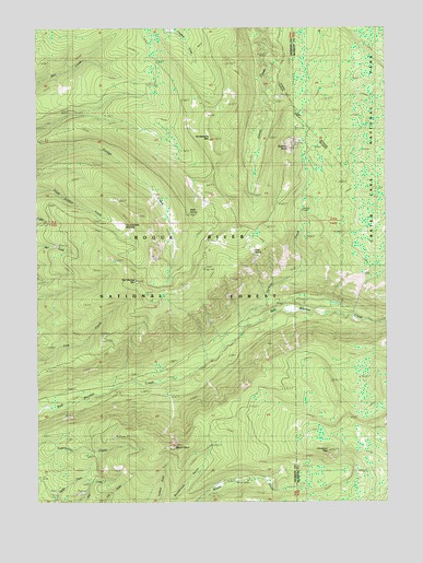
Red Blanket Mountain, OR USGS Topographic Map
Click on map above to begin viewing in our Map Viewer.

This topographic map contains these locations and features:
Feature Name Type Latitude Longitude GNIS ID View Map
Alder SpringSpringN42.8262°W122.3213°1137095View Map
Bessie RockPillarN42.7648°W122.3272°1137956View Map
Bessie ShelterLocaleN42.7557°W122.3056°1134967View Map
Cinnamon PeakSummitN42.7635°W122.2720°1139737View Map
Cold SpringSpringN42.8162°W122.2985°1139928View Map
Cold Spring TrailTrailN42.8024°W122.3353°1139964View Map
Dead Soldier CampLocaleN42.8262°W122.3498°1156863View Map
Dead Soldier MeadowFlatN42.8235°W122.3456°1156864View Map
Dead Soldier TrailTrailN42.8232°W122.3503°1140712View Map
Frenchman Camp TrailTrailN42.8596°W122.3373°1142475View Map
Huckleberry MountainSummitN42.8457°W122.3136°1143878View Map
Lucky Camp TrailTrailN42.7812°W122.2903°1145657View Map
Mill Creek TrailTrailN42.8593°W122.3748°1146251View Map
Red Blanket MountainSummitN42.8082°W122.3405°1148273View Map
Red Blanket TrailTrailN42.8035°W122.2959°1148274View Map
Rocktop ButteSummitN42.8431°W122.2857°1148648View Map
Thousand Springs TrailTrailN42.8626°W122.2911°1151144View Map
Tom and Jerry TrailTrailN42.7521°W122.2767°1151309View Map
Varmint CampLocaleN42.8262°W122.2803°1159022View Map
Varmint CreekStreamN42.7960°W122.3034°1151737View Map

Note: Coordinates in the location and feature list above are referenced to NAD83 datum.


Copyright (C) 2008-2025 Ryan Niemi / Sunset Dynamics ... All Rights Reserved