TopoQuest Logo
Do you find TopoQuest useful?
Help keep TopoQuest running and adding new maps/features by donating!
Bitcoin:  19c7KJd3qBynnjoSw5npx9KScwjBe4ifkT
Litecoin:  LXs6TkuXGGXo1vDsWCkWVdjQX94eUKd6ui
Home View Maps Find Maps Find Places Resources & Links


Strickland, Wisconsin Topographic Map

USGS Map Title: Strickland, WI
USGS Map MRC: 45091D5
DRG (GeoTIFF) Download: o45091d5.tif


Neighboring USGS Topographic Map Quads:


  Rice Lake North, WI  
45091E6
 

  Mikana, WI  
45091E5
 

  Bucks Lake, WI  
45091E4
 

  Rice Lake South, WI  
45091D6
 

  Strickland, WI  
45091D5
 

  Weyerhaeuser, WI  
45091D4
 

  Chetek, WI  
45091C6
 

  Moose Ear Lake, WI  
45091C5
 

  Chain Lake, WI  
45091C4


Map MRC Location:

N46°
W92°
N46°
W91°
H8 H7 H6 H5 H4 H3 H2 H1
G8 G7 G6 G5 G4 G3 G2 G1
F8 F7 F6 F5 F4 F3 F2 F1
E8 E7 E6 E5 E4 E3 E2 E1
D8 D7 D6 D5 D4 D3 D2 D1
C8 C7 C6 C5 C4 C3 C2 C1
B8 B7 B6 B5 B4 B3 B2 B1
A8 A7 A6 A5 A4 A3 A2 A1
N45°
W92°
N45°
W91°

Strickland, WI USGS 1:24K Topographic Map Preview:
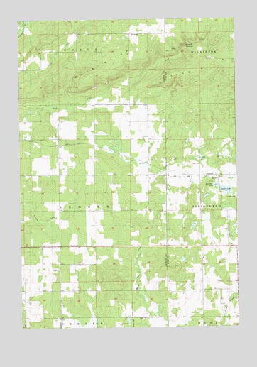
Strickland, WI USGS Topographic Map
Click on map above to begin viewing in our Map Viewer.

This topographic map contains these locations and features:
Feature Name Type Latitude Longitude GNIS ID View Map
Assumption CemeteryCemeteryN45.4358°W91.5168°1867758View Map
Assumption ChurchChurchN45.4358°W91.5179°1867759View Map
Big Bowker LakeLakeN45.4304°W91.5064°1562099View Map
Blue Hills Felsenmeer State Natural AreaParkN45.4744°W91.5352°1988735View Map
Coudray LakeLakeN45.3779°W91.5635°1563433View Map
Grandview School (historical)SchoolN45.4080°W91.5213°1867789View Map
Greenwood School (historical)SchoolN45.4008°W91.6029°1837940View Map
Gundys CanyonValleyN45.4873°W91.5327°1565927View Map
HorsemanPopulated PlaceN45.4944°W91.5596°1577647View Map
LehighPopulated PlaceN45.4411°W91.5510°1577694View Map
Little Bowker LakeLakeN45.4325°W91.5122°1571221View Map
Oakland School (historical)SchoolN45.3905°W91.5121°1867824View Map
Rock Creek Felsenmeer State Natural AreaParkN45.4719°W91.5846°1988567View Map
StricklandPopulated PlaceN45.4366°W91.5213°1577842View Map
Town of SumnerCivilN45.4223°W91.6024°1584251View Map
Victory School (historical)SchoolN45.3786°W91.5416°1838027View Map

Note: Coordinates in the location and feature list above are referenced to NAD83 datum.


Copyright (C) 2008-2025 Ryan Niemi / Sunset Dynamics ... All Rights Reserved