TopoQuest Logo
Do you find TopoQuest useful?
Help keep TopoQuest running and adding new maps/features by donating!
Bitcoin:  19c7KJd3qBynnjoSw5npx9KScwjBe4ifkT
Litecoin:  LXs6TkuXGGXo1vDsWCkWVdjQX94eUKd6ui
Home View Maps Find Maps Find Places Resources & Links


Grider Valley, California Topographic Map

USGS Map Title: Grider Valley, CA
USGS Map MRC: 41123F2
DRG (GeoTIFF) Download: o41123f2.tif


Neighboring USGS Topographic Map Quads:


  Slater Butte, CA  
41123G3
 

  Seiad Valley, CA  
41123G2
 

  Hamburg, CA  
41123G1
 

  Huckleberry Mountain, CA  
41123F3
 

  Grider Valley, CA  
41123F2
 

  Scott Bar, CA  
41123F1
 

  Ukonom Lake, CA  
41123E3
 

  Marble Mountain, CA  
41123E2
 

  Boulder Peak, CA  
41123E1


Map MRC Location:

N42°
W124°
N42°
W123°
H8 H7 H6 H5 H4 H3 H2 H1
G8 G7 G6 G5 G4 G3 G2 G1
F8 F7 F6 F5 F4 F3 F2 F1
E8 E7 E6 E5 E4 E3 E2 E1
D8 D7 D6 D5 D4 D3 D2 D1
C8 C7 C6 C5 C4 C3 C2 C1
B8 B7 B6 B5 B4 B3 B2 B1
A8 A7 A6 A5 A4 A3 A2 A1
N41°
W124°
N41°
W123°

Grider Valley, CA USGS 1:24K Topographic Map Preview:
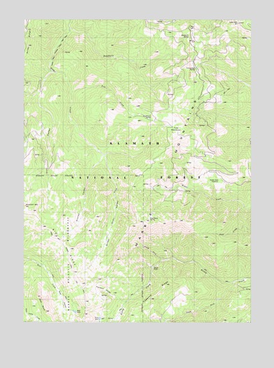
Grider Valley, CA USGS Topographic Map
Click on map above to begin viewing in our Map Viewer.

This topographic map contains these locations and features:
Feature Name Type Latitude Longitude GNIS ID View Map
Bear LakeLakeN41.6292°W123.2228°256678View Map
Bear ValleyValleyN41.6454°W123.2375°256717View Map
Big RidgeRidgeN41.6632°W123.2370°266453View Map
Cayenne RidgeRidgeN41.6340°W123.1823°258098View Map
Cliff ValleyValleyN41.7265°W123.2381°258459View Map
Faulkstein CampLocaleN41.7087°W123.1814°1657383View Map
Faulkstein SpringSpringN41.7099°W123.1820°1667856View Map
Fish CreekStreamN41.7210°W123.2250°260147View Map
Grider RidgeRidgeN41.7443°W123.2489°260891View Map
Grider ValleyValleyN41.6682°W123.2012°260892View Map
Lake MountainSummitN41.7482°W123.1337°262290View Map
Lake Mountain LookoutLocaleN41.7476°W123.1345°277236View Map
Maple FallsFallsN41.6446°W123.1803°263174View Map
Middle Creek MeadowsFlatN41.6829°W123.1423°263511View Map
North Fork Kelsey CreekStreamN41.6507°W123.1717°264173View Map
Packers ValleyValleyN41.6354°W123.1948°264440View Map
Rancheria CampLocaleN41.7421°W123.1595°265170View Map
Rancheria CreekStreamN41.7451°W123.2245°265175View Map
Rancheria SpringSpringN41.7429°W123.1591°1657419View Map
Red RockPillarN41.6337°W123.2400°265317View Map
South Fork Kelsey CreekStreamN41.6418°W123.1350°267467View Map
Stones ValleyValleyN41.6937°W123.2092°267777View Map
Stud Horse CampLocaleN41.6671°W123.1817°267818View Map
Stud Horse SpringSpringN41.6676°W123.1819°1657429View Map
Turk LakeLakeN41.6263°W123.2094°268487View Map
Tyler MeadowsFlatN41.7004°W123.1642°268564View Map
Yellow Jacket SpringSpringN41.7297°W123.1565°274698View Map
Yellowjacket CampLocaleN41.7307°W123.1559°269354View Map

Note: Coordinates in the location and feature list above are referenced to NAD83 datum.


Copyright (C) 2008-2024 Ryan Niemi / Sunset Dynamics ... All Rights Reserved