TopoQuest Logo
Do you find TopoQuest useful?
Help keep TopoQuest running and adding new maps/features by donating!
Bitcoin:  19c7KJd3qBynnjoSw5npx9KScwjBe4ifkT
Litecoin:  LXs6TkuXGGXo1vDsWCkWVdjQX94eUKd6ui
Home View Maps Find Maps Find Places Resources & Links


Little Pine Creek, Montana Topographic Map

USGS Map Title: Little Pine Creek, MT
USGS Map MRC: 46104C5
DRG (GeoTIFF) Download: o46104c5.tif


Neighboring USGS Topographic Map Quads:


  Westmore, MT  
46104D6
 

  Plevna, MT  
46104D5
 

  Baker NW, MT  
46104D4
 

  T G Creek, MT  
46104C6
 

  Little Pine Creek, MT  
46104C5
 

  South Sandstone Reservoir, MT  
46104C4
 

  Harmon Butte, MT  
46104B6
 

  Seven-up Butte, MT  
46104B5
 

  Sportsman Pond, MT  
46104B4


Map MRC Location:

N47°
W105°
N47°
W104°
H8 H7 H6 H5 H4 H3 H2 H1
G8 G7 G6 G5 G4 G3 G2 G1
F8 F7 F6 F5 F4 F3 F2 F1
E8 E7 E6 E5 E4 E3 E2 E1
D8 D7 D6 D5 D4 D3 D2 D1
C8 C7 C6 C5 C4 C3 C2 C1
B8 B7 B6 B5 B4 B3 B2 B1
A8 A7 A6 A5 A4 A3 A2 A1
N46°
W105°
N46°
W104°

Little Pine Creek, MT USGS 1:24K Topographic Map Preview:
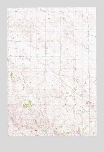
Little Pine Creek, MT USGS Topographic Map
Click on map above to begin viewing in our Map Viewer.

This topographic map contains these locations and features:
Feature Name Type Latitude Longitude GNIS ID View Map
06N57E01AB__01 WellWellN46.3097°W104.5199°815321View Map
06N57E03AABC01 WellWellN46.3058°W104.5547°815290View Map
06N57E05DCC_01 WellWellN46.2972°W104.6061°815197View Map
06N57E06AD__01 WellWellN46.3069°W104.6172°815300View Map
06N57E08ACD_01 WellWellN46.2889°W104.6019°815109View Map
06N57E10BC__01 WellWellN46.2931°W104.5866°815146View Map
06N57E10BDBD01 WellWellN46.2903°W104.5655°815124View Map
06N57E12DB__01 WellWellN46.2869°W104.5172°815092View Map
06N57E14BB__01 WellWellN46.2950°W104.5700°815164View Map
06N57E17ABD_01 WellWellN46.2778°W104.6019°815020View Map
06N57E22CBDB01 WellWellN46.2569°W104.5697°814853View Map
07N57E13CC__01 WellWellN46.3625°W104.5463°815736View Map
07N57E16AB__01 WellWellN46.3347°W104.6005°815540View Map
07N57E22DAC_01 WellWellN46.3486°W104.5769°815641View Map
07N57E24BAAA01 WellWellN46.3564°W104.5405°815686View Map
07N57E24BBCB01 WellWellN46.3492°W104.5491°815642View Map
07N58E18DDCB01 WellWellN46.3547°W104.5136°815675View Map
07N58E19BA__01 WellWellN46.3508°W104.5122°815647View Map
07N58E30DB__01 WellWellN46.3319°W104.5186°815515View Map
07N58E31BBBB01 WellWellN46.3242°W104.5250°815446View Map
Little Pine CreekStreamN46.3294°W104.6097°773474View Map
O'Henry DamDamN46.3333°W104.5838°798236View Map

Note: Coordinates in the location and feature list above are referenced to NAD83 datum.


Copyright (C) 2008-2025 Ryan Niemi / Sunset Dynamics ... All Rights Reserved