TopoQuest Logo
Do you find TopoQuest useful?
Help keep TopoQuest running and adding new maps/features by donating!
Bitcoin:  19c7KJd3qBynnjoSw5npx9KScwjBe4ifkT
Litecoin:  LXs6TkuXGGXo1vDsWCkWVdjQX94eUKd6ui
Home View Maps Find Maps Find Places Resources & Links


Millerton, Pennsylvania Topographic Map

USGS Map Title: Millerton, PA
USGS Map MRC: 41076H8
DRG (GeoTIFF) Download: o41076h8.tif


Neighboring USGS Topographic Map Quads:


  Caton, NY  
42077A1
 

  Seeley Creek, NY  
42076A8
 

  Elmira, NY  
42076A7
 

  Jackson Summit, PA  
41077H1
 

  Millerton, PA  
41076H8
 

  Gillett, PA  
41076H7
 

  Mansfield, PA  
41077G1
 

  Roseville, PA  
41076G8
 

  Troy, PA  
41076G7


Map MRC Location:

N42°
W77°
N42°
W76°
H8 H7 H6 H5 H4 H3 H2 H1
G8 G7 G6 G5 G4 G3 G2 G1
F8 F7 F6 F5 F4 F3 F2 F1
E8 E7 E6 E5 E4 E3 E2 E1
D8 D7 D6 D5 D4 D3 D2 D1
C8 C7 C6 C5 C4 C3 C2 C1
B8 B7 B6 B5 B4 B3 B2 B1
A8 A7 A6 A5 A4 A3 A2 A1
N41°
W77°
N41°
W76°

Millerton, PA USGS 1:24K Topographic Map Preview:
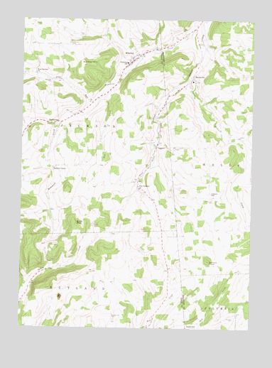
Millerton, PA USGS Topographic Map
Click on map above to begin viewing in our Map Viewer.

This topographic map contains these locations and features:
Feature Name Type Latitude Longitude GNIS ID View Map
Alder RunStreamN41.9654°W76.9591°1168133View Map
Alder Run CemeteryCemeteryN41.9755°W76.9840°1168134View Map
Aspinwall CornersLocaleN41.9012°W76.8913°1206909View Map
Beaman CemeteryCemeteryN41.8795°W76.8844°1168845View Map
Bear CreekStreamN41.9731°W76.9505°1168863View Map
Beckwith CreekStreamN41.9765°W76.9100°1169079View Map
Big Elm Volunteer Fire DepartmentBuildingN41.9485°W76.9254°2653035View Map
Buck MountainSummitN41.9167°W76.9691°1170523View Map
DaggettPopulated PlaceN41.9487°W76.9261°1203386View Map
Daggett CemeteryCemeteryN41.9505°W76.9292°2774806View Map
Edsallville Post Office (historical)Post OfficeN41.9012°W76.8919°1214387View Map
Jackson CenterPopulated PlaceN41.9398°W76.9819°1203884View Map
Jackson Center CemeteryCemeteryN41.9406°W76.9806°2774828View Map
Jacob Miller CemeteryCemeteryN41.9937°W76.9669°1181214View Map
Jobs CornersPopulated PlaceN41.9317°W76.9358°1178092View Map
Jobs Corners CemeteryCemeteryN41.9343°W76.9371°2774829View Map
Judson HillSummitN41.9292°W76.8991°1178182View Map
Judson Hill CemeteryCemeteryN41.9264°W76.8953°1178183View Map
MillertonPopulated PlaceN41.9834°W76.9386°1181261View Map
Millerton CemeteryCemeteryN41.9879°W76.9389°2774836View Map
Millerton Census Designated PlaceCensusN41.9868°W76.9397°2634246View Map
Millerton Post OfficePost OfficeN41.9844°W76.9410°2772837View Map
Millerton Volunteer Fire DepartmentBuildingN41.9831°W76.9414°2653032View Map
MoshervillePopulated PlaceN41.9770°W76.9066°1204213View Map
Mosherville CemeteryCemeteryN41.9753°W76.9056°2776466View Map
Norway HillSummitN41.9817°W76.9658°1182688View Map
Old Daggett Burial Ground CemeteryCemeteryN41.9461°W76.9274°2774841View Map
Old Hickory Post Office (historical)Post OfficeN41.9090°W76.8888°1214388View Map
Pumpkin Hill CemeteryCemeteryN41.8798°W76.9493°1184491View Map
Saxtons KnobSummitN41.9020°W76.8980°1187047View Map
Sbarbaro Ranch Airport (historical)AirportN41.8890°W76.8783°1194307View Map
Seeley Hill CemeteryCemeteryN41.9899°W76.9713°1187219View Map
SopertownPopulated PlaceN41.8756°W76.9044°1204686View Map
Township of JacksonCivilN41.9571°W76.9856°1217113View Map
Township of RutlandCivilN41.8760°W76.9759°1217121View Map
TrowbridgePopulated PlaceN41.9584°W76.9794°1204831View Map
West Jackson ChurchChurchN41.9784°W76.9922°1191047View Map
Wheeler CemeteryCemeteryN41.9974°W76.9910°1191217View Map

Note: Coordinates in the location and feature list above are referenced to NAD83 datum.


Copyright (C) 2008-2025 Ryan Niemi / Sunset Dynamics ... All Rights Reserved