TopoQuest Logo
Do you find TopoQuest useful?
Help keep TopoQuest running and adding new maps/features by donating!
Bitcoin:  19c7KJd3qBynnjoSw5npx9KScwjBe4ifkT
Litecoin:  LXs6TkuXGGXo1vDsWCkWVdjQX94eUKd6ui
Home View Maps Find Maps Find Places Resources & Links


Mowrey Landing, Oregon Topographic Map

USGS Map Title: Mowrey Landing, OR
USGS Map MRC: 44123G8
DRG (GeoTIFF) Download: o44123g8.tif


Neighboring USGS Topographic Map Quads:


  Lincoln City, OR  
44124H1
 

  Devils Lake, OR  
44123H8
 

  Stott Mountain, OR  
44123H7
 

  Depoe Bay, OR  
44124G1
 

  Mowrey Landing, OR  
44123G8
 

  Euchre Mountain, OR  
44123G7
 

  Newport North, OR  
44124F1
 

  Toledo North, OR  
44123F8
 

  Eddyville, OR  
44123F7


Map MRC Location:

N45°
W124°
N45°
W123°
H8 H7 H6 H5 H4 H3 H2 H1
G8 G7 G6 G5 G4 G3 G2 G1
F8 F7 F6 F5 F4 F3 F2 F1
E8 E7 E6 E5 E4 E3 E2 E1
D8 D7 D6 D5 D4 D3 D2 D1
C8 C7 C6 C5 C4 C3 C2 C1
B8 B7 B6 B5 B4 B3 B2 B1
A8 A7 A6 A5 A4 A3 A2 A1
N44°
W124°
N44°
W123°

Mowrey Landing, OR USGS 1:24K Topographic Map Preview:
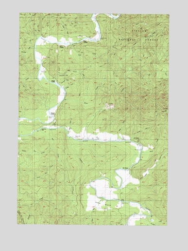
Mowrey Landing, OR USGS Topographic Map
Click on map above to begin viewing in our Map Viewer.

This topographic map contains these locations and features:
Feature Name Type Latitude Longitude GNIS ID View Map
Bear CreekStreamN44.8715°W123.9209°1137689View Map
Butterfield CreekStreamN44.8543°W123.9882°1139065View Map
Butterfield RiffleRapidsN44.8046°W123.9876°1139067View Map
Camas PrairieFlatN44.7626°W123.9307°1139174View Map
Cedar CreekStreamN44.8004°W123.9476°1139512View Map
Chitwood CreekStreamN44.7993°W123.9051°1153808View Map
Davis CreekStreamN44.8384°W123.9671°1140658View Map
Depoe Bay DivisionCivilN44.8489°W123.9961°1938000View Map
Dry CreekStreamN44.7993°W123.9340°1153450View Map
Euchre CreekStreamN44.7829°W123.9093°1141908View Map
Foster CreekStreamN44.7721°W123.9554°1153447View Map
Foster CreekStreamN44.8571°W123.9621°1158673View Map
Grave CreekStreamN44.7526°W123.9090°1153448View Map
Hough CreekStreamN44.7998°W123.9073°1143836View Map
Jack Morgan County ParkParkN44.8012°W123.9057°1153452View Map
Jaybird CreekStreamN44.8018°W123.9593°1144232View Map
KCRF-FMTowerN44.8748°W123.9854°1153879View Map
Mack LandingLocaleN44.8593°W123.9473°1145710View Map
Martin EddyRapidsN44.8596°W123.9343°1153440View Map
Martin Eddy CreekStreamN44.8604°W123.9340°1153442View Map
Melco LandingLocaleN44.8557°W123.9673°1146083View Map
Misac CreekStreamN44.8040°W123.9598°1153449View Map
Morgan LandingLocaleN44.8332°W123.9701°1146452View Map
Morgan Park Boat RampLocaleN44.7997°W123.9065°2668446View Map
Mowrey LandingLocaleN44.8140°W123.9718°1146559View Map
North Roy CreekStreamN44.7946°W123.9721°1147059View Map
Ojalla BridgeBridgeN44.7640°W123.9143°1147172View Map
Ojalla CreekStreamN44.7659°W123.9309°1147173View Map
Reed CreekStreamN44.7946°W123.8982°1158444View Map
Reed CreekStreamN44.8565°W123.9565°1158445View Map
Reed Creek GrangeBuildingN44.8021°W123.9559°1148353View Map
Roots CreekStreamN44.8234°W123.9637°1148724View Map
Roots Post Office (historical)Post OfficeN44.8248°W123.9623°1165882View Map
Roy CreekStreamN44.8029°W123.9890°1148817View Map
Scare CreekStreamN44.8365°W123.9768°1159355View Map
Skalada CreekStreamN44.8298°W123.9640°1153444View Map
South Roy CreekStreamN44.7882°W123.9665°1150076View Map
Stemple CreekStreamN44.8329°W123.9693°1116546View Map
Stewart CreekStreamN44.7890°W123.9004°1153451View Map
Strome County ParkParkN44.8137°W123.9707°1153446View Map
Strome Park Boat RampLocaleN44.8138°W123.9724°2668523View Map
The MaplesLocaleN44.7804°W123.9154°1136987View Map
Thompson CreekStreamN44.7548°W123.8918°1151095View Map
Townsend CreekStreamN44.8323°W123.9690°1153443View Map
Wade CreekStreamN44.7996°W123.9171°1151794View Map

Note: Coordinates in the location and feature list above are referenced to NAD83 datum.


Copyright (C) 2008-2024 Ryan Niemi / Sunset Dynamics ... All Rights Reserved