TopoQuest Logo
Do you find TopoQuest useful?
Help keep TopoQuest running and adding new maps/features by donating!
Bitcoin:  19c7KJd3qBynnjoSw5npx9KScwjBe4ifkT
Litecoin:  LXs6TkuXGGXo1vDsWCkWVdjQX94eUKd6ui
Home View Maps Find Maps Find Places Resources & Links


Niagara Creek, Oregon Topographic Map

USGS Map Title: Niagara Creek, OR
USGS Map MRC: 45123B6
DRG (GeoTIFF) Download: o45123b6.tif


Neighboring USGS Topographic Map Quads:


  Beaver, OR  
45123C7
 

  Blaine, OR  
45123C6
 

  Dovre Peak, OR  
45123C5
 

  Hebo, OR  
45123B7
 

  Niagara Creek, OR  
45123B6
 

  Springer Mountain, OR  
45123B5
 

  Dolph, OR  
45123A7
 

  Midway, OR  
45123A6
 

  Grand Ronde, OR  
45123A5


Map MRC Location:

N46°
W124°
N46°
W123°
H8 H7 H6 H5 H4 H3 H2 H1
G8 G7 G6 G5 G4 G3 G2 G1
F8 F7 F6 F5 F4 F3 F2 F1
E8 E7 E6 E5 E4 E3 E2 E1
D8 D7 D6 D5 D4 D3 D2 D1
C8 C7 C6 C5 C4 C3 C2 C1
B8 B7 B6 B5 B4 B3 B2 B1
A8 A7 A6 A5 A4 A3 A2 A1
N45°
W124°
N45°
W123°

Niagara Creek, OR USGS 1:24K Topographic Map Preview:
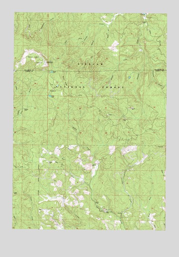
Niagara Creek, OR USGS Topographic Map
Click on map above to begin viewing in our Map Viewer.

This topographic map contains these locations and features:
Feature Name Type Latitude Longitude GNIS ID View Map
Agency Creek QuarryMineN45.1357°W123.6757°1137031View Map
Asinine BridgeBridgeN45.1404°W123.6837°1137323View Map
Buelah CreekStreamN45.2293°W123.6462°1138879View Map
Burnt RidgeRidgeN45.2101°W123.7098°1118359View Map
Dahl ForkStreamN45.2415°W123.6915°1140590View Map
Grand Ronde CommunityCivilN45.1419°W123.6407°2418950View Map
KTIL-FMTowerN45.2207°W123.7251°1158728View Map
Left Branch Powder CreekStreamN45.2432°W123.6759°1144920View Map
Mount Hebo Recreation Site (historical)LocaleN45.2207°W123.7290°1153503View Map
Niagara CreekStreamN45.2493°W123.6443°1146819View Map
North LakeReservoirN45.2157°W123.7200°1147035View Map
Pheasant CreekStreamN45.2212°W123.6429°1147631View Map
Shueble CreekStreamN45.2429°W123.6740°1149451View Map
South LakeLakeN45.2018°W123.7214°1150054View Map
South Lake Recreation SiteLocaleN45.2040°W123.7221°1153502View Map
TetonsSummitN45.1729°W123.6265°1150989View Map
West Fork Agency CreekStreamN45.1504°W123.6882°1152045View Map
West Fork Yoncalla CreekStreamN45.1609°W123.6582°1153328View Map
Yoncalla CreekStreamN45.1318°W123.6637°1152740View Map

Note: Coordinates in the location and feature list above are referenced to NAD83 datum.


Copyright (C) 2008-2025 Ryan Niemi / Sunset Dynamics ... All Rights Reserved