TopoQuest Logo
Do you find TopoQuest useful?
Help keep TopoQuest running and adding new maps/features by donating!
Bitcoin:  19c7KJd3qBynnjoSw5npx9KScwjBe4ifkT
Litecoin:  LXs6TkuXGGXo1vDsWCkWVdjQX94eUKd6ui
Home View Maps Find Maps Find Places Resources & Links


Washingtonville, Pennsylvania Topographic Map

USGS Map Title: Washingtonville, PA
USGS Map MRC: 41076A6
DRG (GeoTIFF) Download: o41076a6.tif


Neighboring USGS Topographic Map Quads:


  Muncy, PA  
41076B7
 

  Hughesville, PA  
41076B6
 

  Lairdsville, PA  
41076B5
 

  Milton, PA  
41076A7
 

  Washingtonville, PA  
41076A6
 

  Millville, PA  
41076A5
 

  Northumberland, PA  
40076H7
 

  Riverside, PA  
40076H6
 

  Danville, PA  
40076H5


Map MRC Location:

N42°
W77°
N42°
W76°
H8 H7 H6 H5 H4 H3 H2 H1
G8 G7 G6 G5 G4 G3 G2 G1
F8 F7 F6 F5 F4 F3 F2 F1
E8 E7 E6 E5 E4 E3 E2 E1
D8 D7 D6 D5 D4 D3 D2 D1
C8 C7 C6 C5 C4 C3 C2 C1
B8 B7 B6 B5 B4 B3 B2 B1
A8 A7 A6 A5 A4 A3 A2 A1
N41°
W77°
N41°
W76°

Washingtonville, PA USGS 1:24K Topographic Map Preview:
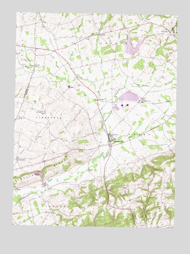
Washingtonville, PA USGS Topographic Map
Click on map above to begin viewing in our Map Viewer.

This topographic map contains these locations and features:
Feature Name Type Latitude Longitude GNIS ID View Map
Beaver RunStreamN41.0854°W76.7080°1169038View Map
Beaver Run ChurchChurchN41.0626°W76.7458°1169044View Map
Billmeyer CemeteryCemeteryN41.0217°W76.7222°1169626View Map
Borough of WashingtonvilleCivilN41.0523°W76.6749°1215488View Map
CaliforniaPopulated PlaceN41.0668°W76.7263°1203209View Map
Chillisquaque DamDamN41.1019°W76.6614°1211961View Map
ComlyPopulated PlaceN41.1195°W76.7288°1203314View Map
County Line BranchStreamN41.0793°W76.6844°1172507View Map
DeLong Memorial SchoolSchoolN41.0534°W76.6727°1173014View Map
Derry ChurchChurchN41.0984°W76.6311°1173175View Map
DieffenbachPopulated PlaceN41.0745°W76.6847°1203417View Map
East Branch Chillisquaque CreekStreamN41.0823°W76.6636°1173737View Map
ExchangePopulated PlaceN41.1131°W76.6838°1174388View Map
Goose CoveBayN41.1084°W76.6622°1202927View Map
Hendrickson ChurchChurchN41.0234°W76.6305°1176835View Map
Heron CoveBayN41.1070°W76.6552°1202940View Map
Lake ChillisquaqueReservoirN41.1067°W76.6599°1211962View Map
LimestonevillePopulated PlaceN41.0393°W76.7477°1179367View Map
McKee RunStreamN41.0890°W76.7002°1180740View Map
MexicoPopulated PlaceN41.0212°W76.7483°1204162View Map
Middle Branch Chillisquaque CreekStreamN41.0820°W76.6636°1181005View Map
Milton QuarryMineN41.0308°W76.7272°2706951View Map
Montour CountyCivilN41.0279°W76.6586°1213681View Map
Mud CreekStreamN41.0473°W76.6738°1181997View Map
New California SchoolSchoolN41.0668°W76.7283°1197413View Map
Oak GrovePopulated PlaceN41.0079°W76.7191°1204313View Map
Oak Grove SchoolSchoolN41.0073°W76.7200°1197412View Map
OttawaPopulated PlaceN41.0818°W76.7036°1204340View Map
Saint James ChurchChurchN41.1126°W76.6894°1199441View Map
SchuylerPopulated PlaceN41.0940°W76.7350°1204592View Map
Strawberry RidgePopulated PlaceN41.0743°W76.6516°1188865View Map
Township of AnthonyCivilN41.1223°W76.6812°1216887View Map
Township of DerryCivilN41.0552°W76.6492°1216889View Map
Township of LimestoneCivilN41.0615°W76.7259°1216891View Map
Township of ValleyCivilN41.0023°W76.6324°1216894View Map
Trinity ChurchChurchN41.0076°W76.7188°1189803View Map
Trinity ChurchChurchN41.0754°W76.6497°1189804View Map
Valley Township Volunteer Fire Company 1BuildingN41.0008°W76.6460°2652877View Map
WashingtonvillePopulated PlaceN41.0518°W76.6747°1190655View Map
Washingtonville Post OfficePost OfficeN41.0520°W76.6763°2779953View Map
Washingtonville Volunteer Fire HallBuildingN41.0553°W76.6760°2653286View Map
West Branch Chillisquaque CreekStreamN41.0656°W76.6786°1190896View Map
White HallPopulated PlaceN41.1165°W76.6316°1191274View Map
White Hall CreekStreamN41.0843°W76.6486°1191276View Map

Note: Coordinates in the location and feature list above are referenced to NAD83 datum.


Copyright (C) 2008-2025 Ryan Niemi / Sunset Dynamics ... All Rights Reserved