TopoQuest Logo
Do you find TopoQuest useful?
Help keep TopoQuest running and adding new maps/features by donating!
Bitcoin:  19c7KJd3qBynnjoSw5npx9KScwjBe4ifkT
Litecoin:  LXs6TkuXGGXo1vDsWCkWVdjQX94eUKd6ui
Home View Maps Find Maps Find Places Resources & Links


Sundown Mountain, Oregon Topographic Map

USGS Map Title: Sundown Mountain, OR
USGS Map MRC: 42124C3
DRG (GeoTIFF) Download: o42124c3.tif


Neighboring USGS Topographic Map Quads:


  Gold Beach, OR  
42124D4
 

  Signal Buttes, OR  
42124D3
 

  Quosatana Butte, OR  
42124D2
 

  Cape Sebastian, OR  
42124C4
 

  Sundown Mountain, OR  
42124C3
 

  Collier Butte, OR  
42124C2
 

  Mack Point, OR  
42124B4
 

  Carpenterville, OR  
42124B3
 

  Bosley Butte, OR  
42124B2


Map MRC Location:

N43°
W125°
N43°
W124°
H8 H7 H6 H5 H4 H3 H2 H1
G8 G7 G6 G5 G4 G3 G2 G1
F8 F7 F6 F5 F4 F3 F2 F1
E8 E7 E6 E5 E4 E3 E2 E1
D8 D7 D6 D5 D4 D3 D2 D1
C8 C7 C6 C5 C4 C3 C2 C1
B8 B7 B6 B5 B4 B3 B2 B1
A8 A7 A6 A5 A4 A3 A2 A1
N42°
W125°
N42°
W124°

Sundown Mountain, OR USGS 1:24K Topographic Map Preview:
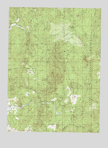
Sundown Mountain, OR USGS Topographic Map
Click on map above to begin viewing in our Map Viewer.

This topographic map contains these locations and features:
Feature Name Type Latitude Longitude GNIS ID View Map
Big South Fork Hunter CreekStreamN42.3479°W124.3501°1138069View Map
Conn CreekStreamN42.3584°W124.3693°1140041View Map
Deep CreekStreamN42.2801°W124.3270°1140792View Map
Flycatcher SpringSpringN42.3561°W124.2921°1142277View Map
Gardner RanchLocaleN42.2857°W124.2865°1142576View Map
Glade CreekStreamN42.2787°W124.3301°1142756View Map
Hazel Camp TrailTrailN42.2504°W124.2515°1143424View Map
Hunter Creek BogSwampN42.3748°W124.3062°1134931View Map
Koontz and Davis CreekStreamN42.2554°W124.2832°1154834View Map
Little South Fork Hunter CreekStreamN42.3479°W124.3501°1145260View Map
Mule PrairieAreaN42.2507°W124.3443°1133962View Map
North Fork Pistol RiverStreamN42.3179°W124.2723°1159154View Map
Pine PointSummitN42.2901°W124.2970°1154870View Map
Pine Point Picnic GroundParkN42.3750°W124.2894°1132616View Map
Pyramid RockPillarN42.3670°W124.2814°1148070View Map
Red FlatFlatN42.3467°W124.2960°1148295View Map
Red RockSummitN42.2523°W124.3676°1134929View Map
Sundown MountainSummitN42.3102°W124.3504°1150659View Map
Sundown PrairieAreaN42.3096°W124.3457°1134930View Map
Sunrise CreekStreamN42.2840°W124.2693°1150670View Map
Wests MineMineN42.3312°W124.2990°1152159View Map

Note: Coordinates in the location and feature list above are referenced to NAD83 datum.


Copyright (C) 2008-2025 Ryan Niemi / Sunset Dynamics ... All Rights Reserved