TopoQuest Logo
Do you find TopoQuest useful?
Help keep TopoQuest running and adding new maps/features by donating!
Bitcoin:  19c7KJd3qBynnjoSw5npx9KScwjBe4ifkT
Litecoin:  LXs6TkuXGGXo1vDsWCkWVdjQX94eUKd6ui
Home View Maps Find Maps Find Places Resources & Links


Sonnette, Montana Topographic Map

USGS Map Title: Sonnette, MT
USGS Map MRC: 45105D7
DRG (GeoTIFF) Download: o45105d7.tif


Neighboring USGS Topographic Map Quads:


  Home Creek Butte, MT  
45105E8
 

  Samuelson Ranch, MT  
45105E7
 

  Leslie Creek, MT  
45105E6
 

  Threemile Buttes, MT  
45105D8
 

  Sonnette, MT  
45105D7
 

  Epsie, MT  
45105D6
 

  Phillips Butte, MT  
45105C8
 

  Hodsdon Flats, MT  
45105C7
 

  Yarger Butte, MT  
45105C6


Map MRC Location:

N46°
W106°
N46°
W105°
H8 H7 H6 H5 H4 H3 H2 H1
G8 G7 G6 G5 G4 G3 G2 G1
F8 F7 F6 F5 F4 F3 F2 F1
E8 E7 E6 E5 E4 E3 E2 E1
D8 D7 D6 D5 D4 D3 D2 D1
C8 C7 C6 C5 C4 C3 C2 C1
B8 B7 B6 B5 B4 B3 B2 B1
A8 A7 A6 A5 A4 A3 A2 A1
N45°
W106°
N45°
W105°

Sonnette, MT USGS 1:24K Topographic Map Preview:
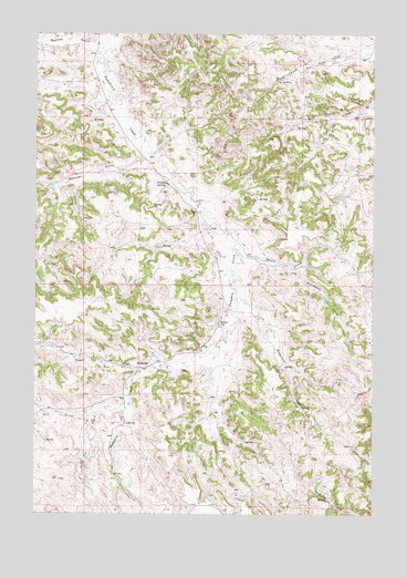
Sonnette, MT USGS Topographic Map
Click on map above to begin viewing in our Map Viewer.

This topographic map contains these locations and features:
Feature Name Type Latitude Longitude GNIS ID View Map
04S48E18BACD01 WellWellN45.4894°W105.8500°809753View Map
04S48E20CBDC01 WellWellN45.4675°W105.8336°809642View Map
04S48E20CC__01 WellWellN45.4633°W105.8319°809619View Map
04S48E26ACAC01 WellWellN45.4578°W105.7631°809579View Map
04S48E26BDBD01 SpringSpringN45.4589°W105.7689°809591View Map
04S48E28CBCC01 WellWellN45.4536°W105.8150°809551View Map
04S48E34DDBB01 WellWellN45.4380°W105.7792°809486View Map
05S48E04CADC01 WellWellN45.4244°W105.8086°809416View Map
05S48E16BDAB01 WellWellN45.4017°W105.8072°809319View Map
Basin CreekStreamN45.4439°W105.8022°779401View Map
Chuffey SpringSpringN45.4608°W105.8275°781265View Map
Doonan GulchValleyN45.4967°W105.8519°782483View Map
Dry CreekStreamN45.4025°W105.8411°782565View Map
Dutchman CreekStreamN45.4392°W105.7811°782734View Map
Mitchell School (historical)SchoolN45.4244°W105.8075°787518View Map
Reservoir CreekStreamN45.4325°W105.8014°789534View Map
Sheep CreekStreamN45.4011°W105.8525°790315View Map
Skinner GulchValleyN45.4683°W105.8344°790594View Map
SonnettePopulated PlaceN45.4130°W105.8314°790852View Map
Sugar RunStreamN45.4122°W105.8358°791627View Map
Two Tree MineMineN45.4878°W105.7869°792564View Map

Note: Coordinates in the location and feature list above are referenced to NAD83 datum.


Copyright (C) 2008-2025 Ryan Niemi / Sunset Dynamics ... All Rights Reserved