TopoQuest Logo
Do you find TopoQuest useful?
Help keep TopoQuest running and adding new maps/features by donating!
Bitcoin:  19c7KJd3qBynnjoSw5npx9KScwjBe4ifkT
Litecoin:  LXs6TkuXGGXo1vDsWCkWVdjQX94eUKd6ui
Home View Maps Find Maps Find Places Resources & Links


Tombstone Mountain, California Topographic Map

USGS Map Title: Tombstone Mountain, CA
USGS Map MRC: 41122A3
DRG (GeoTIFF) Download: o41122a3.tif


Neighboring USGS Topographic Map Quads:


  Seven Lakes Basin, CA  
41122B4
 

  Dunsmuir, CA  
41122B3
 

  Girard Ridge, CA  
41122B2
 

  Chicken Hawk Hill, CA  
41122A4
 

  Tombstone Mountain, CA  
41122A3
 

  Yellowjacket Mountain, CA  
41122A2
 

  Lamoine, CA  
40122H4
 

  Hanland Peak, CA  
40122H3
 

  Bollibokka Mountain, CA  
40122H2


Map MRC Location:

N42°
W123°
N42°
W122°
H8 H7 H6 H5 H4 H3 H2 H1
G8 G7 G6 G5 G4 G3 G2 G1
F8 F7 F6 F5 F4 F3 F2 F1
E8 E7 E6 E5 E4 E3 E2 E1
D8 D7 D6 D5 D4 D3 D2 D1
C8 C7 C6 C5 C4 C3 C2 C1
B8 B7 B6 B5 B4 B3 B2 B1
A8 A7 A6 A5 A4 A3 A2 A1
N41°
W123°
N41°
W122°

Tombstone Mountain, CA USGS 1:24K Topographic Map Preview:
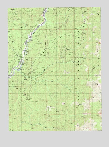
Tombstone Mountain, CA USGS Topographic Map
Click on map above to begin viewing in our Map Viewer.

This topographic map contains these locations and features:
Feature Name Type Latitude Longitude GNIS ID View Map
Big SpringSpringN41.1048°W122.2726°257017View Map
ConantPopulated PlaceN41.1127°W122.3256°1658307View Map
Flume CreekStreamN41.0946°W122.3439°223635View Map
Hazel CreekStreamN41.0615°W122.3658°225084View Map
Mears CreekStreamN41.0707°W122.3556°228472View Map
North Fork Hazel CreekStreamN41.0688°W122.3028°229682View Map
SimsPopulated PlaceN41.0718°W122.3550°1659671View Map
Sims FlatFlatN41.0618°W122.3603°1661864View Map
Sims Flat CampgroundLocaleN41.0610°W122.3597°276811View Map
Sims LookoutLocaleN41.0427°W122.3617°249516View Map
Sims StationLocaleN41.0724°W122.3622°276812View Map
South Fork Hazel CreekStreamN41.0529°W122.3403°235015View Map
Sweetbrier CreekStreamN41.1113°W122.3236°235892View Map
Sweetbrier RidgeRidgeN41.0907°W122.3192°235893View Map
Tater HillSummitN41.0327°W122.2631°1659959View Map
Tombstone MountainSummitN41.0471°W122.2553°1660014View Map
Wards CabinBuildingN41.0532°W122.3425°276816View Map
Wards Upper CabinLocaleN41.0818°W122.2622°276813View Map

Note: Coordinates in the location and feature list above are referenced to NAD83 datum.


Copyright (C) 2008-2025 Ryan Niemi / Sunset Dynamics ... All Rights Reserved