TopoQuest Logo
Do you find TopoQuest useful?
Help keep TopoQuest running and adding new maps/features by donating!
Bitcoin:  19c7KJd3qBynnjoSw5npx9KScwjBe4ifkT
Litecoin:  LXs6TkuXGGXo1vDsWCkWVdjQX94eUKd6ui
Home View Maps Find Maps Find Places Resources & Links


Cherry Grove, Pennsylvania Topographic Map

USGS Map Title: Cherry Grove, PA
USGS Map MRC: 41079F2
DRG (GeoTIFF) Download: o41079f2.tif


Neighboring USGS Topographic Map Quads:


  Youngsville, PA  
41079G3
 

  Warren, PA  
41079G2
 

  Clarendon, PA  
41079G1
 

  Cobham, PA  
41079F3
 

  Cherry Grove, PA  
41079F2
 

  Sheffield, PA  
41079F1
 

  Kellettville, PA  
41079E3
 

  Mayburg, PA  
41079E2
 

  Lynch, PA  
41079E1


Map MRC Location:

N42°
W80°
N42°
W79°
H8 H7 H6 H5 H4 H3 H2 H1
G8 G7 G6 G5 G4 G3 G2 G1
F8 F7 F6 F5 F4 F3 F2 F1
E8 E7 E6 E5 E4 E3 E2 E1
D8 D7 D6 D5 D4 D3 D2 D1
C8 C7 C6 C5 C4 C3 C2 C1
B8 B7 B6 B5 B4 B3 B2 B1
A8 A7 A6 A5 A4 A3 A2 A1
N41°
W80°
N41°
W79°

Cherry Grove, PA USGS 1:24K Topographic Map Preview:
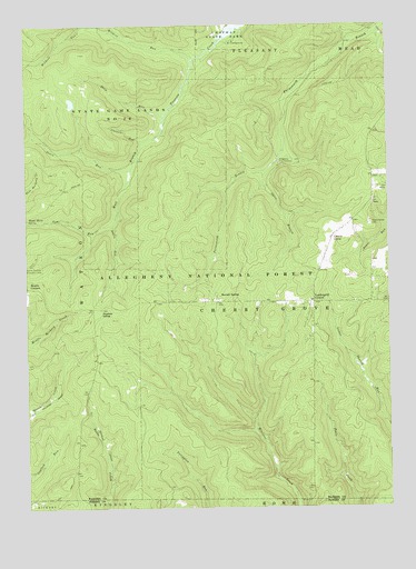
Cherry Grove, PA USGS Topographic Map
Click on map above to begin viewing in our Map Viewer.

This topographic map contains these locations and features:
Feature Name Type Latitude Longitude GNIS ID View Map
Adams RunStreamN41.7484°W79.1806°1209382View Map
Allegheny Fish HatcheryLocaleN41.7145°W79.1617°1209385View Map
Cherry GrovePopulated PlaceN41.6962°W79.1445°1209495View Map
Cherry Grove CemeteryCemeteryN41.6984°W79.1310°1209496View Map
Cherry Grove SchoolSchoolN41.6948°W79.1414°1210338View Map
Cherry Grove Volunteer Fire DepartmentBuildingN41.7005°W79.1346°2645393View Map
Conklin RunStreamN41.7198°W79.2092°1209521View Map
Davis RunStreamN41.6984°W79.2200°1209549View Map
Dunham SidingLocaleN41.6767°W79.2245°1209574View Map
Hearts ContentPopulated PlaceN41.6817°W79.2473°1210177View Map
Hermit SpringPopulated PlaceN41.6781°W79.1839°1209670View Map
Jones RunStreamN41.7123°W79.2134°1209715View Map
Minister Valley TrailTrailN41.6270°W79.1637°1210500View Map
Otter BranchStreamN41.7123°W79.1673°1209872View Map
Rams Horn SpringSpringN41.6995°W79.2492°1210501View Map
Shaw RunStreamN41.7270°W79.2023°1209970View Map
Slater RunStreamN41.7478°W79.2181°1210210View Map
Tom RunStreamN41.6960°W79.2267°1210048View Map
Township of Cherry GroveCivilN41.6811°W79.1508°1217159View Map
Vandergriff CornersLocaleN41.6784°W79.1503°1210072View Map
Wildcat RunStreamN41.7412°W79.1923°1210118View Map

Note: Coordinates in the location and feature list above are referenced to NAD83 datum.


Copyright (C) 2008-2024 Ryan Niemi / Sunset Dynamics ... All Rights Reserved